|
search place name
|
||
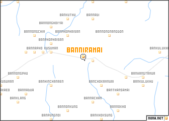
Ban Niramai (Sakon Nakhon, Thailand)Ban Niramai is a town in the Sakon Nakhon region of Thailand. An overview map of the region around Ban Niramai is displayed below.
regional and 3d topo map of Ban Niramai, Thailand ::
Ban Niramai airports ::
The nearest airport is SNO - Sakon Nakhon, located 32.8 km south west of Ban Niramai.
Other airports nearby include ZVK - Savannakhet (92.4 km south east), UTH - Udon Thani (171.5 km west), VTE - Vientiane Wattay Intl (208.6 km west), Nearby towns ::
Ban Hin Chanaen (1.8km east) //
Ban Chok Amnuai (6.6km south east) //
Ban Pho Phaisan (6.6km north west) //
Kusuman (7.3km west) //
Ban Nong Nang Don (7.7km north east) //
Ban Pho Phaisan (8.0km north west) //
Ban Hin Chanaen (9.0km south west) //
Ban Nong Hoi Yai (10.2km north west) //
Ban Than Samai (10.2km south east) //
[all distances 'as the bird flies' and approximate] 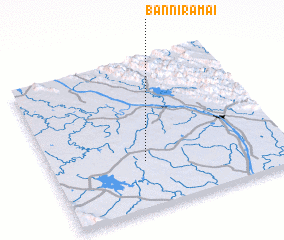 Places with similar names to Ban Niramai, Thailand ::
// Ben Rami (MA)
// Ban Nai Ram (TH)
// Ban Ram (TH)
// Ban Ram (TH)
// Ban Rom (TH)
// Benirrama (ES)
// Banerema (TP)
// Banoram (NG)
// Ban Ramay (LA)
// Bene Reʼem (IL)
Disclaimer :: Information on this page comes without warranty of any kind |
||
|
Where is Ban Niramai? Elevation and coordinates ::
Latitude (lat): 17°19'0"N Longitude (lon): 104°24'0"E
Elevation (approx.): 197m (map arrows pan, magnifying glasses zoom) |
||
|
Visiting Ban Niramai? Hotel/Accommodation ::
Book a hotel in Ban Niramai Travel Guide ::
Buy a travel guide for Thailand rental cars ::
car rental offers GPS waypoint ::
download a GPX waypoint (PoI) of Ban Niramai for your GPS receiver
|
||