|
search place name
|
||
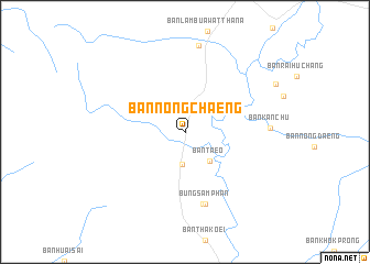
Ban Nong Chaeng (Phetchabun, Thailand)Ban Nong Chaeng is a town in the Phetchabun region of Thailand. An overview map of the region around Ban Nong Chaeng is displayed below.
regional and 3d topo map of Ban Nong Chaeng, Thailand ::
Ban Nong Chaeng airports ::
The nearest airport is PHS - Phitsanulok, located 129.8 km north west of Ban Nong Chaeng.
Other airports nearby include NAK - Nakhon Ratchasima Khorat (152.6 km south east), LOE - Loei (191.5 km north east), BKK - Bangkok Intl (218.7 km south), UTH - Udon Thani (254.5 km north east), Nearby towns ::
Ban Khok Ta Yo (3.3km south) //
Ban Taeo (3.8km south east) //
Ban Bung Sam Phan Nai (7.6km south) //
Bung Sam Phan (7.6km south) //
Ban Kan Chu (8.4km east) //
Ban Phot (8.8km north) //
[all distances 'as the bird flies' and approximate] 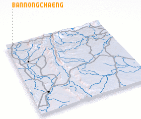 Places with similar names to Ban Nong Chaeng, Thailand ::
// Ban Nong Chaeng (TH)
// Ban Nong Chaeng (TH)
// Ban Nong Chaeng (TH)
// Ban Nong Chang (TH)
// Ban Nong Chang (TH)
// Ban Nong Chang (TH)
// Ban Nong Chang (TH)
// Ban Nong Chang (TH)
// Ban Nong Chang (TH)
// Ban Nong Chang (TH)
Disclaimer :: Information on this page comes without warranty of any kind |
||
|
Where is Ban Nong Chaeng? Elevation and coordinates ::
Latitude (lat): 15°50'57"N Longitude (lon): 101°0'52"E
Elevation (approx.): 81m (map arrows pan, magnifying glasses zoom) |
||
|
Visiting Ban Nong Chaeng? Hotel/Accommodation ::
Book a hotel in Ban Nong Chaeng Travel Guide ::
Buy a travel guide for Thailand rental cars ::
car rental offers GPS waypoint ::
download a GPX waypoint (PoI) of Ban Nong Chaeng for your GPS receiver
|
||