|
search place name
|
||
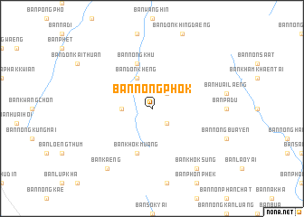
Ban Nong Phok (Chaiyaphum, Thailand)Ban Nong Phok is a town in the Chaiyaphum region of Thailand. An overview map of the region around Ban Nong Phok is displayed below.
regional and 3d topo map of Ban Nong Phok, Thailand ::
Ban Nong Phok airports ::
The nearest airport is UTH - Udon Thani, located 131.2 km north of Ban Nong Phok.
Other airports nearby include LOE - Loei (147.7 km north west), NAK - Nakhon Ratchasima Khorat (151.0 km south), VTE - Vientiane Wattay Intl (191.5 km north), SNO - Sakon Nakhon (211.7 km north east), Nearby towns ::
Ban Nong Ya Plong (2.6km north east) //
Ban Nong Song Hong (2.6km south east) //
Ban Ya Hong Khaen (3.6km west) //
Ban Don Kheng (4.1km north west) //
Ban Khok Muang (5.8km south) //
Ban Nong Khu (5.8km north) //
Ban Khok Sung (9.1km south east) //
Ban Kaeng (9.1km south west) //
[all distances 'as the bird flies' and approximate] 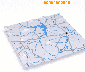 Places with similar names to Ban Nong Phok, Thailand ::
// Ban Nong Faek (TH)
// Ban Nong Faek (TH)
// Ban Nong Faek (TH)
// Ban Nong Faek (TH)
// Ban Nong Fak (TH)
// Ban Nong Fak (TH)
// Ban Nong Phai (2) (TH)
// Ban Nong Phai (2) (TH)
// Ban Nong Phai Kaeo (TH)
// Ban Nong Pho (2) (TH)
Disclaimer :: Information on this page comes without warranty of any kind |
||
|
Where is Ban Nong Phok? Elevation and coordinates ::
Latitude (lat): 16°16'0"N Longitude (lon): 102°23'0"E
Elevation (approx.): 235m (map arrows pan, magnifying glasses zoom) |
||
|
Visiting Ban Nong Phok? Hotel/Accommodation ::
Book a hotel in Ban Nong Phok Travel Guide ::
Buy a travel guide for Thailand rental cars ::
car rental offers GPS waypoint ::
download a GPX waypoint (PoI) of Ban Nong Phok for your GPS receiver
|
||