|
search place name
|
||
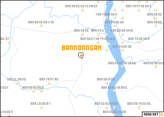
Ban Non Ngam (Nakhon Phanom, Thailand)Ban Non Ngam is a town in the Nakhon Phanom region of Thailand. An overview map of the region around Ban Non Ngam is displayed below.
regional and 3d topo map of Ban Non Ngam, Thailand ::
Ban Non Ngam airports ::
The nearest airport is ZVK - Savannakhet, located 35.3 km south of Ban Non Ngam.
Other airports nearby include SNO - Sakon Nakhon (70.3 km north west), UTH - Udon Thani (209.7 km west), PKZ - Pakse (225.1 km south east), Nearby towns ::
Ban Khon Kwang Noi (2.6km north west) //
Amphoe That Phanom (5.1km north east) //
Ban Song Khon (5.6km north) //
Ban Tong (5.6km north) //
Ban Na Kham (5.6km east) //
Ban Thu (6.6km north east) //
Ban Nam Kam (7.7km north east) //
Ban Sai Mun (7.7km south east) //
Ban Tap Tao (9.0km south west) //
Ban Chanot (9.0km south west) //
Ban Thadua (10.3km north east) //
Ban Pông (10.3km north east) //
Ban Kèngkabao (10.3km south east) //
[all distances 'as the bird flies' and approximate] 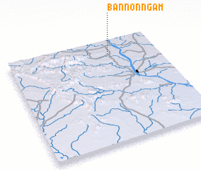 Places with similar names to Ban Non Ngam, Thailand ::
// Ban Ai Ngam (1) (TH)
// Ban Na Ngam (TH)
// Ban Na Ngam (TH)
// Ban Na Ngam (TH)
// Ban Na Ngam (TH)
// Ban Na Ngam (TH)
// Ban Noen Kum (1) (TH)
// Ban Nong Ai Ma (TH)
// Ban Nong Ma (TH)
// Ban Nong Ma (TH)
Disclaimer :: Information on this page comes without warranty of any kind |
||
|
Where is Ban Non Ngam? Elevation and coordinates ::
Latitude (lat): 16°52'0"N Longitude (lon): 104°41'0"E
Elevation (approx.): 163m (map arrows pan, magnifying glasses zoom) |
||
|
Visiting Ban Non Ngam? Hotel/Accommodation ::
Book a hotel in Ban Non Ngam Travel Guide ::
Buy a travel guide for Thailand rental cars ::
car rental offers GPS waypoint ::
download a GPX waypoint (PoI) of Ban Non Ngam for your GPS receiver
|
||