|
search place name
|
||
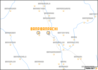
Ban Pa Chi (Lamphun, Thailand)Ban Pa Chi is a town in the Lamphun region of Thailand. An overview map of the region around Ban Pa Chi is displayed below.
regional and 3d topo map of Ban Pa Chi, Thailand ::
Ban Pa Chi airports ::
The nearest airport is LPT - Lampang, located 78.6 km north east of Ban Pa Chi.
Other airports nearby include PRH - Phrae (135.0 km east), PHS - Phitsanulok (183.2 km south east), Nearby towns ::
Ban Wang Din (2.6km south east) //
Li (2.6km south east) //
Ban Pa Chi (3.5km west) //
Ban Pa Phai (3.5km west) //
Ban Pong Lok (5.1km south east) //
Ban Huai Ping (5.3km east) //
Ban Ton Yang (5.3km east) //
Ban Rong (5.3km east) //
Ban Huai Haen (5.6km north) //
Ban Pa Hok (6.5km south east) //
Ban Pa Phai (7.4km north) //
Ban Muang Sam Pi (7.6km south) //
Ban Phuang Kham (7.7km south east) //
Ban Hong (8.7km south east) //
[all distances 'as the bird flies' and approximate] 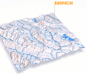 Places with similar names to Ban Pa Chi, Thailand ::
// Ban Pa Chao (TH)
// Ban Pa Chi (TH)
// Ban Pa Chi (TH)
// Ban Pa Chi (TH)
// Ban Pa Tia (TH)
// Ban Pa Tia (TH)
// Ban Pua Chai (TH)
// Ban Pua Chai (TH)
// Ban Pu Chao (TH)
// Ban Pu Choi (TH)
Disclaimer :: Information on this page comes without warranty of any kind |
||
|
Where is Ban Pa Chi? Elevation and coordinates ::
Latitude (lat): 17°49'0"N Longitude (lon): 98°56'0"E
Elevation (approx.): 448m (map arrows pan, magnifying glasses zoom) |
||
|
Visiting Ban Pa Chi? Hotel/Accommodation ::
Book a hotel in Ban Pa Chi Travel Guide ::
Buy a travel guide for Thailand rental cars ::
car rental offers GPS waypoint ::
download a GPX waypoint (PoI) of Ban Pa Chi for your GPS receiver
|
||