|
search place name
|
||
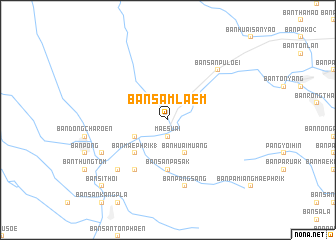
Ban Sam Laem (Chiang Rai, Thailand)Ban Sam Laem is a town in the Chiang Rai region of Thailand. An overview map of the region around Ban Sam Laem is displayed below.
regional and 3d topo map of Ban Sam Laem, Thailand ::
Ban Sam Laem airports ::
The nearest airport is MOG - Mong Hsat, located 99.0 km north of Ban Sam Laem.
Other airports nearby include THL - Tachilek Tachileik (99.0 km north east), LPT - Lampang (154.6 km south), KET - Kengtung (181.2 km north), PRH - Phrae (181.8 km south), Nearby towns ::
Mae Suai (1.9km south) //
Ban Thao Kaen Chan (4.0km south west) //
Ban Huai Muang (4.1km south east) //
Ban Mae Phrik (1) (5.1km south west) //
Ban San Pa Sak (5.6km south) //
Ban San Champa (1) (6.6km south west) //
Ban Pang Sang (7.6km south) //
Ban San Pu Loei (7.6km north east) //
Ban Sop Mae Ta Chang (7.6km south west) //
Ban Thung Fa Pha (7.6km south west) //
Ban Pa Daet (7.9km south west) //
Ban Si Thoi (10.2km south west) //
Ban Muang Kham (10.2km south west) //
[all distances 'as the bird flies' and approximate] 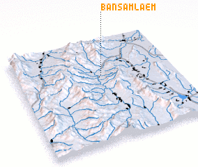 Places with similar names to Ban Sam Laem, Thailand ::
Disclaimer :: Information on this page comes without warranty of any kind |
||
|
Where is Ban Sam Laem? Elevation and coordinates ::
Latitude (lat): 19°40'0"N Longitude (lon): 99°33'0"E
Elevation (approx.): 463m (map arrows pan, magnifying glasses zoom) |
||
|
Visiting Ban Sam Laem? Hotel/Accommodation ::
Book a hotel in Ban Sam Laem Travel Guide ::
Buy a travel guide for Thailand rental cars ::
car rental offers GPS waypoint ::
download a GPX waypoint (PoI) of Ban Sam Laem for your GPS receiver
|
||