|
search place name
|
||
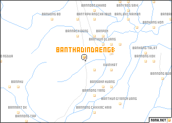
Ban Tha Din Daeng (1) (Sukhothai, Thailand)Ban Tha Din Daeng (1) is a town in the Sukhothai region of Thailand. An overview map of the region around Ban Tha Din Daeng (1) is displayed below.
regional and 3d topo map of Ban Tha Din Daeng (1), Thailand ::
Ban Tha Din Daeng (1) airports ::
The nearest airport is PHS - Phitsanulok, located 56.9 km east of Ban Tha Din Daeng (1).
Other airports nearby include PRH - Phrae (148.6 km north), LPT - Lampang (159.4 km north), LOE - Loei (219.7 km east), Nearby towns ::
Ban Tanot (2.6km south east) //
Ban Thung Luang (5.1km north east) //
Ban Nong Rua (5.6km east) //
Khiri Mat (5.6km east) //
Ban Na Ka Long (1) (5.8km north) //
Ban Na Choeng (5.8km north) //
Ban Pom (6.6km north east) //
Ban Tha Maklua (6.5km north east) //
Ban Sam Phuang (6.6km south east) //
Ban Nong Yang (7.6km south) //
Ban Nong Sida (7.7km south east) //
Ban Chom Sang (8.0km north east) //
[all distances 'as the bird flies' and approximate] 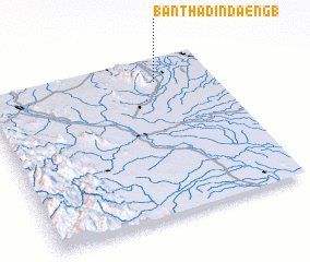 Places with similar names to Ban Tha Din Daeng (1), Thailand ::
// Ban Tha Din Daeng (1) (TH)
Disclaimer :: Information on this page comes without warranty of any kind |
||
|
Where is Ban Tha Din Daeng (1)? Elevation and coordinates ::
Latitude (lat): 16°51'0"N Longitude (lon): 99°45'0"E
Elevation (approx.): 59m (map arrows pan, magnifying glasses zoom) |
||
|
Visiting Ban Tha Din Daeng (1)? Hotel/Accommodation ::
Book a hotel in Ban Tha Din Daeng (1) Travel Guide ::
Buy a travel guide for Thailand rental cars ::
car rental offers GPS waypoint ::
download a GPX waypoint (PoI) of Ban Tha Din Daeng (1) for your GPS receiver
|
||