|
search place name
|
||
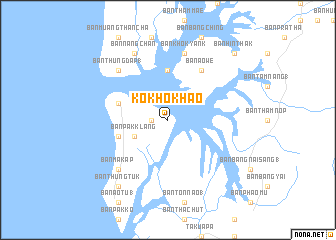
Ko Kho Khao (Phangnga, Thailand)Ko Kho Khao is a town in the Phangnga region of Thailand. An overview map of the region around Ko Kho Khao is displayed below.
regional and 3d topo map of Ko Kho Khao, Thailand ::
Ko Kho Khao airports ::
The nearest airport is HKT - Phuket Intl, located 96.2 km south of Ko Kho Khao.
Other airports nearby include NST - Nakhon Si Thammarat Cha Ian (189.0 km east), TST - Trang (217.0 km south east), Nearby towns ::
Ban Kho Khao (1.8km west) //
Ban Pak Klang (4.1km south west) //
Ban Thung Ong (5.6km north) //
Ban Nok Na (5.8km west) //
Ban Nok Na (5.8km west) //
Ban Ao We (6.7km north east) //
Ban Khok Yank (7.6km north) //
Ban Thung Dap (1) (7.8km north west) //
Ban Ma Kap (7.8km south west) //
Ban Nang Chan (8.3km north west) //
Ban Thung Tuk (9.2km south west) //
Ban Hin Thak (10.4km north east) //
[all distances 'as the bird flies' and approximate] 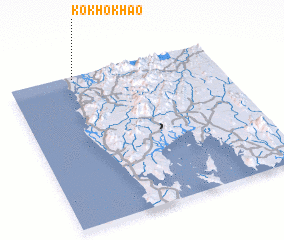 Places with similar names to Ko Kho Khao, Thailand ::
// Ko Kho Khao (TH)
Disclaimer :: Information on this page comes without warranty of any kind |
||
|
Where is Ko Kho Khao? Elevation and coordinates ::
Latitude (lat): 8°59'0"N Longitude (lon): 98°19'0"E
Elevation (approx.): 18m (map arrows pan, magnifying glasses zoom) |
||
|
Visiting Ko Kho Khao? Hotel/Accommodation ::
Book a hotel in Ko Kho Khao Travel Guide ::
Buy a travel guide for Thailand rental cars ::
car rental offers GPS waypoint ::
download a GPX waypoint (PoI) of Ko Kho Khao for your GPS receiver
|
||