|
search place name
|
||
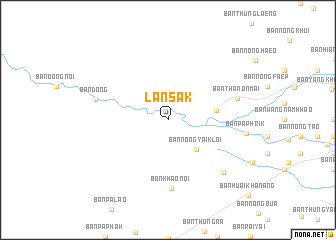
Lan Sak (Uthai Thani, Thailand)Lan Sak is a town in the Uthai Thani region of Thailand. An overview map of the region around Lan Sak is displayed below.
regional and 3d topo map of Lan Sak, Thailand ::
Lan Sak airports ::
The nearest airport is PHS - Phitsanulok, located 164.1 km north east of Lan Sak.
Other airports nearby include BKK - Bangkok Intl (193.9 km south east), Nearby towns ::
Ban Thap Salao (1.0km north) //
Ban Nong Yai Kloi (4.6km south east) //
Ban Tha Cha-Om (5.3km east) //
Ban Khao Noi (7.7km south) //
Ban Thanon Mai (7.8km east) //
Ban Dong (8.1km west) //
Ban Mamuang Wan (8.3km south east) //
Ban Pa Phrik (8.6km east) //
[all distances 'as the bird flies' and approximate] 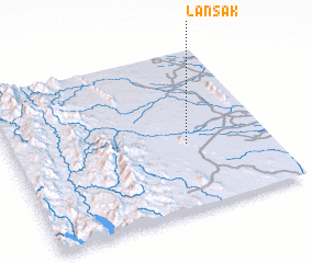 Places with similar names to Lan Sak, Thailand ::
Disclaimer :: Information on this page comes without warranty of any kind |
||
|
Where is Lan Sak? Elevation and coordinates ::
Latitude (lat): 15°25'0"N Longitude (lon): 99°41'0"E
Elevation (approx.): 81m (map arrows pan, magnifying glasses zoom) |
||
|
Visiting Lan Sak? Hotel/Accommodation ::
Book a hotel in Lan Sak Travel Guide ::
Buy a travel guide for Thailand rental cars ::
car rental offers GPS waypoint ::
download a GPX waypoint (PoI) of Lan Sak for your GPS receiver
|
||