|
search place name
|
||
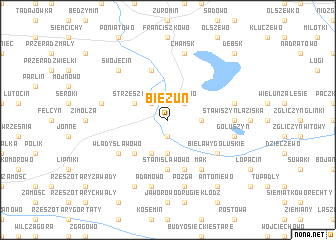
Bieżuń (Poland)Bieżuń is a town in Poland. An overview map of the region around Bieżuń is displayed below.
regional and 3d topo map of Bieżuń, Poland ::
Bieżuń airports ::
The nearest airport is WAW - Warsaw Okecie, located 114.1 km south east of Bieżuń.
Other airports nearby include GDN - Gdansk Lecha Walesy (184.0 km north west), KGD - Kaliningrad Khrabrovo (218.6 km north), Nearby towns ::
Myślin Kocewo (1.9km south) //
Sadłowo (2.2km north east) //
Karniszyn (2.2km north west) //
Kobylałąka (2.2km east) //
Myślin Watróbki (3.7km south) //
Strzeszewo (2.9km north west) //
Dąbrówki (3.9km south) //
Sady (4.3km south west) //
Stanisławowo (5.6km south) //
Siedliska (5.7km south) //
Młudzyń (5.7km north) //
Sokołowy Kąt (6.0km south) //
Mak (6.0km south) //
Władysławowo (5.0km south west) //
Bielawy Gołuskie (5.0km south east) //
Stawiszyn Łaziska (4.5km east) //
Stawiszyn Żwalewo (4.8km north east) //
Chamsk (7.5km north) //
Gołuszyn (4.8km south east) //
Obręb (4.8km north west) //
Pozga (7.5km south) //
Adamowo (7.5km south) //
Swojęcin (6.5km north west) //
Jaworowo (7.7km south) //
Jaworowo Pierwsze Wabie (7.7km south) //
Antoniewo (8.1km south east) //
Dębsk (8.7km north east) //
[all distances 'as the bird flies' and approximate] 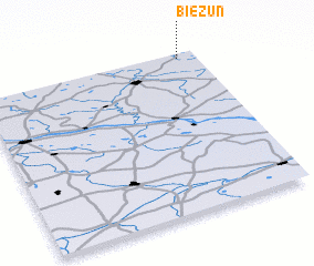 Places with similar names to Bieżuń, Poland ::
Disclaimer :: Information on this page comes without warranty of any kind |
||
|
Where is Bieżuń? Elevation and coordinates ::
Latitude (lat): 52°58'0"N Longitude (lon): 19°55'0"E
Elevation (approx.): 114m (map arrows pan, magnifying glasses zoom) |
||
|
Visiting Bieżuń? Hotel/Accommodation ::
Book a hotel in Bieżuń Travel Guide ::
Buy a travel guide for Poland rental cars ::
car rental offers GPS waypoint ::
download a GPX waypoint (PoI) of Bieżuń for your GPS receiver
|
||