|
search place name
|
||
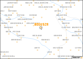
Bogusza (Poland)Bogusza is a town in Poland. An overview map of the region around Bogusza is displayed below.
regional and 3d topo map of Bogusza, Poland ::
Bogusza airports ::
The nearest airport is TAT - Poprad Tatry, located 72.0 km south west of Bogusza.
Other airports nearby include KRK - Krakow Balice (97.4 km north west), RZE - Rzeszow Jasionka (101.6 km north east), KSC - Kosice (103.8 km south), KTW - Katowice Pyrzowice (164.0 km north west), Nearby towns ::
Królowa Górna (3.0km north west) //
Maciejowa (3.9km south) //
Łabowa (3.9km south) //
Ptaszkowa (5.6km north) //
Nowa Wieś (5.7km south) //
Cieniawa (6.1km north west) //
Kamionka Wielka (5.2km west) //
Królowa Polska (6.1km north west) //
Kamianna (6.1km south east) //
Grybów (8.8km north east) //
[all distances 'as the bird flies' and approximate] 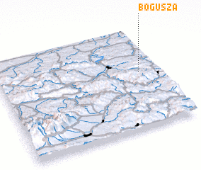 Places with similar names to Bogusza, Poland ::
Disclaimer :: Information on this page comes without warranty of any kind |
||
|
Where is Bogusza? Elevation and coordinates ::
Latitude (lat): 49°34'0"N Longitude (lon): 20°53'0"E
Elevation (approx.): 503m (map arrows pan, magnifying glasses zoom) |
||
|
Visiting Bogusza? Hotel/Accommodation ::
Book a hotel in Bogusza Travel Guide ::
Buy a travel guide for Poland rental cars ::
car rental offers GPS waypoint ::
download a GPX waypoint (PoI) of Bogusza for your GPS receiver
|
||