|
search place name
|
||
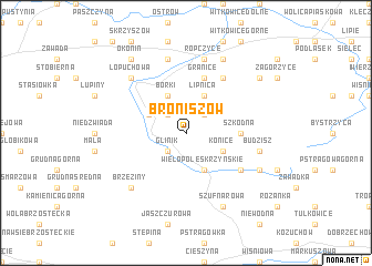
Broniszów (Poland)Broniszów is a town in Poland. An overview map of the region around Broniszów is displayed below.
regional and 3d topo map of Broniszów, Poland ::
Broniszów airports ::
The nearest airport is RZE - Rzeszow Jasionka, located 33.2 km north east of Broniszów.
Other airports nearby include KRK - Krakow Balice (130.5 km west), TAT - Poprad Tatry (141.1 km south west), KSC - Kosice (149.1 km south), Nearby towns ::
Glinik (2.2km south west) //
Budy (2.2km north east) //
Poręby (2.2km north west) //
Konice (3.0km south east) //
Rzegocin (3.9km south) //
Wielopole Skrzyńskie (3.9km south) //
Łączki Kucharskie (3.0km north west) //
Lipnica (3.9km north) //
Borki (3.9km north) //
Szkodna (3.6km east) //
Granice (5.7km north) //
Nawsie Dolne (5.2km south east) //
Brzyzna Górna (6.0km north east) //
Budzisz (5.1km east) //
Ropczyce (7.5km north) //
Chechły (7.5km north) //
Brzeziny (6.6km south west) //
Łopuchowa (6.6km north west) //
Szufnarowa (7.8km south) //
Nawsie (6.0km south east) //
Brzyzna (7.8km north) //
Okonin (8.2km north west) //
Buczyna (8.2km north west) //
Gnojnica (7.3km north east) //
[all distances 'as the bird flies' and approximate] 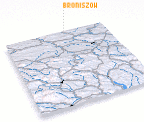 Places with similar names to Broniszów, Poland ::
// Biernacice (PL)
// Biernacice (PL)
// Bronisze (PL)
// Broniszew (PL)
// Broniszów (PL)
// Bronocice (PL)
// Burunsuz (TR)
// Burunsuz (TR)
// Burunsuz (TR)
// Bernueces (ES)
Disclaimer :: Information on this page comes without warranty of any kind |
||
|
Where is Broniszów? Elevation and coordinates ::
Latitude (lat): 49°59'0"N Longitude (lon): 21°36'0"E
Elevation (approx.): 313m (map arrows pan, magnifying glasses zoom) |
||
|
Visiting Broniszów? Hotel/Accommodation ::
Book a hotel in Broniszów Travel Guide ::
Buy a travel guide for Poland rental cars ::
car rental offers GPS waypoint ::
download a GPX waypoint (PoI) of Broniszów for your GPS receiver
|
||