|
search place name
|
||
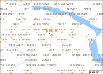
Decie (Poland)Decie is a town in Poland. An overview map of the region around Decie is displayed below.
regional and 3d topo map of Decie, Poland ::
Decie airports ::
The nearest airport is WAW - Warsaw Okecie, located 64.9 km west of Decie.
Nearby towns ::
Roguszyn (0.0km north) //
Czaple (1.1km east) //
Szczurów (2.2km south west) //
Wielądki (2.2km north west) //
Pniewnik (2.3km west) //
Korytnica (3.7km north) //
Żabokliki (2.9km south east) //
Nojszew (2.9km south west) //
Skarzyn (3.9km south) //
Żelazów (2.9km north east) //
Czerwonka (4.3km south east) //
Zalesie (4.3km north east) //
Kruszew (4.3km north east) //
Wola Korytnicka (4.3km north west) //
Sulki (5.6km south) //
Leśniki (3.9km north west) //
Komory (5.7km north) //
Orzechów (5.0km south east) //
Koszewnica (6.0km south) //
Marcelin (5.0km south west) //
Chmielew (5.0km north east) //
Połazie (4.5km east) //
Górki Borze (7.4km north) //
Wierzbno (7.5km south) //
Soboń (7.5km south) //
Wólka (7.5km south) //
Zawady (4.9km east) //
Górki Śređnie (7.5km north) //
Wyczółki (6.5km south east) //
[all distances 'as the bird flies' and approximate] 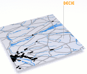 Places with similar names to Decie, Poland ::
Disclaimer :: Information on this page comes without warranty of any kind |
||
|
Where is Decie? Elevation and coordinates ::
Latitude (lat): 52°23'0"N Longitude (lon): 21°51'0"E
Elevation (approx.): 167m (map arrows pan, magnifying glasses zoom) |
||
|
Visiting Decie? Hotel/Accommodation ::
Book a hotel in Decie Travel Guide ::
Buy a travel guide for Poland rental cars ::
car rental offers GPS waypoint ::
download a GPX waypoint (PoI) of Decie for your GPS receiver
|
||