|
search place name
|
||
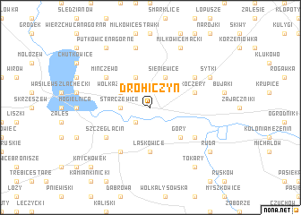
Drohiczyn (Poland)Drohiczyn is a town in Poland. An overview map of the region around Drohiczyn is displayed below.
regional and 3d topo map of Drohiczyn, Poland ::
Drohiczyn airports ::
The nearest airport is WAW - Warsaw Okecie, located 117.8 km west of Drohiczyn.
Nearby towns ::
Bużyska (2.2km south west) //
Starczewice (2.3km west) //
Wólka Zamkowa (2.9km north west) //
Runice (2.9km north west) //
Kłyżówka (3.9km north) //
Sieniewice (3.9km north) //
Góry (4.3km south east) //
Laskowice (5.6km south) //
Koczery (3.9km north east) //
Szczeglacin (5.0km south west) //
Korczew (6.0km south) //
Drażniew (5.0km south east) //
Minczewo (5.0km north west) //
Milewo (5.0km north west) //
Sady (5.0km north east) //
Lisowo (7.5km north) //
Miłkowice Maćki (7.8km north) //
Sytki (5.8km north east) //
Putkowice Nagorne (8.2km north west) //
Tokary (8.2km south east) //
Ruda (7.2km south east) //
Knychówek (8.7km south west) //
[all distances 'as the bird flies' and approximate] 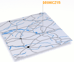 Places with similar names to Drohiczyn, Poland ::
// Drohiczany (PL)
Disclaimer :: Information on this page comes without warranty of any kind |
||
|
Where is Drohiczyn? Elevation and coordinates ::
Latitude (lat): 52°24'0"N Longitude (lon): 22°39'0"E
Elevation (approx.): 143m (map arrows pan, magnifying glasses zoom) |
||
|
Visiting Drohiczyn? Hotel/Accommodation ::
Book a hotel in Drohiczyn Travel Guide ::
Buy a travel guide for Poland rental cars ::
car rental offers GPS waypoint ::
download a GPX waypoint (PoI) of Drohiczyn for your GPS receiver
|
||