|
search place name
|
||
Drozdówka (Poland)Drozdówka is a town in Poland. An overview map of the region around Drozdówka is displayed below.
regional and 3d topo map of Drozdówka, Poland ::

Drozdówka airports ::
The nearest airport is WAW - Warsaw Okecie, located 156.5 km north west of Drozdówka.
Other airports nearby include RZE - Rzeszow Jasionka (168.4 km south west), LWO - Lvov Lviv Intl (200.3 km south), Nearby towns ::
Jedlanka (1.9km north) //
Bobryk (2.2km south east) //
Uścimów Stary (3.9km south) //
Maśluchy (3.9km south) //
Głębokie (3.0km south west) //
Jedlanka Stara (3.0km north west) //
Białka (4.4km north east) //
Jedlanka Nowa (3.5km west) //
Uścimów (5.7km south) //
Orzechów Nowy (5.1km south east) //
Krasne Stare (7.5km south) //
Uścimów Nowy (6.6km south west) //
Zagłębocze (8.2km south east) //
Sójka (8.7km north east) //
Zamłyniec (8.7km south east) //
[all distances 'as the bird flies' and approximate] 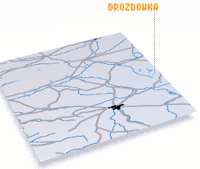 Places with similar names to Drozdówka, Poland ::
// Douar Souadeg (MA)
// Drozdówko (PL)
// Turostówko (PL)
// Trŭstika (BG)
// Douar Sadok (TN)
// Tīrestāq (IR)
// Družetić (CS)
// Troštica (CS)
Disclaimer :: Information on this page comes without warranty of any kind |
||
|
Where is Drozdówka? Elevation and coordinates ::
Latitude (lat): 51°30'0"N Longitude (lon): 22°58'0"E
Elevation (approx.): 159m (map arrows pan, magnifying glasses zoom) |
||
|
Visiting Drozdówka? Hotel/Accommodation ::
Book a hotel in Drozdówka Travel Guide ::
Buy a travel guide for Poland rental cars ::
car rental offers GPS waypoint ::
download a GPX waypoint (PoI) of Drozdówka for your GPS receiver
|
||