|
search place name
|
||
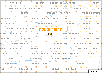
Drwalewice (Poland)Drwalewice is a town in Poland. An overview map of the region around Drwalewice is displayed below.
regional and 3d topo map of Drwalewice, Poland ::
Drwalewice airports ::
The nearest airport is WAW - Warsaw Okecie, located 29.9 km north of Drwalewice.
Other airports nearby include KTW - Katowice Pyrzowice (209.3 km south west), RZE - Rzeszow Jasionka (210.8 km south), KRK - Krakow Balice (220.9 km south west), Nearby towns ::
Drwalen (0.0km north) //
Kukały (2.2km south west) //
Pawłówka (2.2km south east) //
Pieczyska (3.7km north) //
Wola Wągrodzka (3.9km north) //
Staniszewice (3.9km north) //
Barcice (2.9km north west) //
Wola Pieczyska (3.9km north) //
Budziszyn (2.9km south east) //
Budziszynek (4.4km south east) //
Żyrów (3.4km west) //
Przyłom (5.6km south) //
Edwardów (3.4km east) //
Stefanków (5.7km south) //
Chynów (3.9km north east) //
Wągrodno Nowe (5.7km north) //
Chośna (5.7km north) //
Kolonia Częstoniew (5.1km south west) //
Falęcin (6.0km south) //
Dobrzenica (5.0km north west) //
Wola Prażmowska (6.0km north) //
Franciszków (6.0km south) //
Miedzechów (7.4km south) //
Wągrodno (7.4km north) //
Wola Chynowska (4.6km east) //
Żyrówek (4.9km west) //
Mięsy (4.9km west) //
Ludwików (7.5km north) //
Wygodne (4.9km east) //
[all distances 'as the bird flies' and approximate]  Places with similar names to Drwalewice, Poland :: Disclaimer :: Information on this page comes without warranty of any kind |
||
|
Where is Drwalewice? Elevation and coordinates ::
Latitude (lat): 51°54'0"N Longitude (lon): 21°2'0"E
Elevation (approx.): 129m (map arrows pan, magnifying glasses zoom) |
||
|
Visiting Drwalewice? Hotel/Accommodation ::
Book a hotel in Drwalewice Travel Guide ::
Buy a travel guide for Poland rental cars ::
car rental offers GPS waypoint ::
download a GPX waypoint (PoI) of Drwalewice for your GPS receiver
|
||