|
search place name
|
||
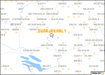
Dunajek Mały (Poland)Dunajek Mały is a town in Poland. An overview map of the region around Dunajek Mały is displayed below.
regional and 3d topo map of Dunajek Mały, Poland ::
Dunajek Mały airports ::
The nearest airport is KGD - Kaliningrad Khrabrovo, located 133.9 km north west of Dunajek Mały.
Nearby towns ::
Rdzawe (1.1km east) //
Dunajek Wielki (1.1km west) //
Wierzbianka (2.1km south west) //
Golubie Wężewskie (2.9km south east) //
Jabłonowo (3.9km south) //
Siedlisko (3.9km north) //
Stacze (4.3km south east) //
Głażejewo (5.7km north) //
Osowo (5.7km north) //
Giereliszki (3.7km north west) //
Cicholaski (3.7km north east) //
Sokółki (6.0km south) //
Główka (4.9km north west) //
Jeziorki Wielkie (4.9km north west) //
Grabowo (6.0km north) //
Marcinowo (7.4km north) //
Zawady (7.5km south) //
Wężewo (5.7km south east) //
Rudzie (5.7km north east) //
Różyńsk Wielki (8.1km north west) //
Pietrasze (8.1km north east) //
Suczki (8.1km north east) //
Czerwony Dwór (7.1km south west) //
Tatary (8.6km north east) //
[all distances 'as the bird flies' and approximate] 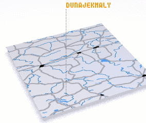 Places with similar names to Dunajek Mały, Poland :: Disclaimer :: Information on this page comes without warranty of any kind |
||
|
Where is Dunajek Mały? Elevation and coordinates ::
Latitude (lat): 54°11'0"N Longitude (lon): 22°16'0"E
Elevation (approx.): 211m (map arrows pan, magnifying glasses zoom) |
||
|
Visiting Dunajek Mały? Hotel/Accommodation ::
Book a hotel in Dunajek Mały Travel Guide ::
Buy a travel guide for Poland rental cars ::
car rental offers GPS waypoint ::
download a GPX waypoint (PoI) of Dunajek Mały for your GPS receiver
|
||