|
search place name
|
||
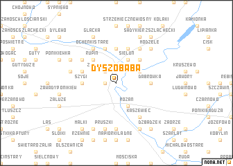
Dyszobaba (Poland)Dyszobaba is a town in Poland. An overview map of the region around Dyszobaba is displayed below.
regional and 3d topo map of Dyszobaba, Poland ::
Dyszobaba airports ::
The nearest airport is WAW - Warsaw Okecie, located 88.6 km south of Dyszobaba.
Other airports nearby include KGD - Kaliningrad Khrabrovo (226.0 km north), Nearby towns ::
Chrzczonki (1.1km west) //
Załęże Wielkie (2.2km north west) //
Chełsty (2.9km north east) //
Sieluń (3.9km north) //
Różan (3.9km south) //
Rupin (4.3km north west) //
Ogony (4.3km north east) //
Gierwaty Stare (5.6km north) //
Szygi (3.4km west) //
Gierwaty (5.6km north) //
Dąbrówka (3.4km east) //
Załęże (3.8km north west) //
Długołęka Wielka (5.7km north) //
Ochenki Nowe (5.7km north) //
Gierwaty Szeligi (5.7km north) //
Ochenki Stare (6.0km north) //
Ochenki (6.0km north) //
Głażewo Cholewy (5.0km north west) //
Kaszewiec (6.0km south) //
Młynarze (6.0km north) //
Głażewo (5.0km north west) //
Mroczki Rębiszewo (7.4km south) //
Załęże Eliasze (4.8km north west) //
Pruszki (7.5km south) //
Modzele (6.5km north east) //
Glącka (7.7km north) //
Sadykierz (7.7km north) //
Łasiewity (7.7km south) //
Dzbądz (7.7km south) //
[all distances 'as the bird flies' and approximate] 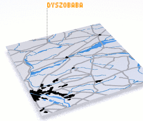 Places with similar names to Dyszobaba, Poland :: Disclaimer :: Information on this page comes without warranty of any kind |
||
|
Where is Dyszobaba? Elevation and coordinates ::
Latitude (lat): 52°55'0"N Longitude (lon): 21°24'0"E
Elevation (approx.): 92m (map arrows pan, magnifying glasses zoom) |
||
|
Visiting Dyszobaba? Hotel/Accommodation ::
Book a hotel in Dyszobaba Travel Guide ::
Buy a travel guide for Poland rental cars ::
car rental offers GPS waypoint ::
download a GPX waypoint (PoI) of Dyszobaba for your GPS receiver
|
||