|
search place name
|
||
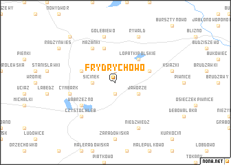
Frydrychowo (Poland)Frydrychowo is a town in Poland. An overview map of the region around Frydrychowo is displayed below.
regional and 3d topo map of Frydrychowo, Poland ::
Frydrychowo airports ::
The nearest airport is GDN - Gdansk Lecha Walesy, located 123.2 km north of Frydrychowo.
Other airports nearby include OSP - Slupsk Redzikowo (179.5 km north west), WAW - Warsaw Okecie (184.5 km south east), KGD - Kaliningrad Khrabrovo (203.8 km north east), Nearby towns ::
Łopatki (1.9km north) //
Myśliwiec (1.9km south) //
Sicinek (2.2km west) //
Jaworze (2.9km south east) //
Łopatki Polskie (4.3km north east) //
Jarantowice (3.8km north west) //
Łopatki (3.8km north east) //
Szczuplinki (5.7km north) //
Mazanki (6.0km north) //
Wąbrzeźno (5.0km south west) //
Gołębiewo (7.5km north) //
Cymbark (4.8km south west) //
Czystochleb (6.5km south west) //
Rywałd Szlachecki (7.7km north) //
Rywałd (7.7km north) //
Rywałd Królewski (7.7km north) //
Niedźwiedź (7.7km south) //
Radzyń Chełmiński (8.6km north west) //
[all distances 'as the bird flies' and approximate] 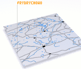 Places with similar names to Frydrychowo, Poland :: Disclaimer :: Information on this page comes without warranty of any kind |
||
|
Where is Frydrychowo? Elevation and coordinates ::
Latitude (lat): 53°19'0"N Longitude (lon): 19°0'0"E
Elevation (approx.): 97m (map arrows pan, magnifying glasses zoom) |
||
|
Visiting Frydrychowo? Hotel/Accommodation ::
Book a hotel in Frydrychowo Travel Guide ::
Buy a travel guide for Poland rental cars ::
car rental offers GPS waypoint ::
download a GPX waypoint (PoI) of Frydrychowo for your GPS receiver
|
||