|
search place name
|
||
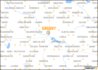
Gagowy (Poland)Gagowy is a town in Poland. An overview map of the region around Gagowy is displayed below.
regional and 3d topo map of Gagowy, Poland ::
Gagowy airports ::
The nearest airport is WAW - Warsaw Okecie, located 126.0 km east of Gagowy.
Other airports nearby include KTW - Katowice Pyrzowice (216.2 km south), GDN - Gdansk Lecha Walesy (223.2 km north), Nearby towns ::
Modlibórz (1.9km north) //
Lubień Kujawski (2.2km south east) //
Kolonia Lubień (2.2km south west) //
Bilno (2.9km north east) //
Krzewie (2.9km north west) //
Błędowo (2.9km north west) //
Narty Parcele (4.3km south east) //
Kłóbka (4.3km north west) //
Kobylałąka (4.3km south west) //
Unisławice (5.6km north) //
Kolonia Rzeżewo (3.4km west) //
Kaliska (3.4km west) //
Kamienna Kretkowo (5.7km south) //
Kamienna (5.7km south) //
Czaple (3.9km south east) //
Morzyce (6.0km south) //
Strzały (7.4km north) //
Władysławów (4.5km east) //
Kanibród (4.5km east) //
Dobrzelewice (7.5km north) //
Gole (4.9km west) //
Zalesie (6.5km south west) //
Szewo (6.5km north east) //
Szewo Wielkie (6.5km north east) //
Szewo Małe (5.8km north east) //
Prosno (5.8km south west) //
Grodno (8.2km north east) //
Kąty (7.2km south east) //
Wiktorowo (7.2km north west) //
[all distances 'as the bird flies' and approximate] 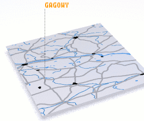 Places with similar names to Gagowy, Poland ::
Disclaimer :: Information on this page comes without warranty of any kind |
||
|
Where is Gagowy? Elevation and coordinates ::
Latitude (lat): 52°25'0"N Longitude (lon): 19°10'0"E
Elevation (approx.): 125m (map arrows pan, magnifying glasses zoom) |
||
|
Visiting Gagowy? Hotel/Accommodation ::
Book a hotel in Gagowy Travel Guide ::
Buy a travel guide for Poland rental cars ::
car rental offers GPS waypoint ::
download a GPX waypoint (PoI) of Gagowy for your GPS receiver
|
||