|
search place name
|
||
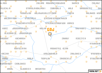
Gaj (Poland)Gaj is a town in Poland. An overview map of the region around Gaj is displayed below.
regional and 3d topo map of Gaj, Poland ::
Gaj airports ::
The nearest airport is WAW - Warsaw Okecie, located 80.8 km north east of Gaj.
Other airports nearby include KTW - Katowice Pyrzowice (149.4 km south west), KRK - Krakow Balice (173.7 km south), RZE - Rzeszow Jasionka (210.9 km south east), Nearby towns ::
Wielka Wola (2.2km north west) //
Mała Wola (2.2km north east) //
Annów (3.9km north) //
Józefów (3.9km north) //
Strzemeszna Druga (3.9km north) //
Strzemeszna (5.6km north) //
Lipie (5.6km north) //
Dąbrówka (3.9km north west) //
Strzemeszna Pierwsza (5.7km north) //
Zawady (3.9km south east) //
Poświętne (5.7km south) //
Czerniewice (6.0km north) //
Lechów (5.1km north west) //
Królowa Wola (7.4km south) //
Wólka Jagielczyńska (7.5km north) //
Krzemienica (7.5km north) //
Brzozów (5.0km east) //
Glina (6.5km south east) //
Kanice (5.9km north east) //
Studzianki (7.2km north west) //
Chociw (8.7km north east) //
Liciążna (8.7km south east) //
[all distances 'as the bird flies' and approximate] 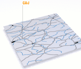 Places with similar names to Gaj, Poland ::
Disclaimer :: Information on this page comes without warranty of any kind |
||
|
Where is Gaj? Elevation and coordinates ::
Latitude (lat): 51°37'0"N Longitude (lon): 20°12'0"E
Elevation (approx.): 176m (map arrows pan, magnifying glasses zoom) |
||
|
Visiting Gaj? Hotel/Accommodation ::
Book a hotel in Gaj Travel Guide ::
Buy a travel guide for Poland rental cars ::
car rental offers GPS waypoint ::
download a GPX waypoint (PoI) of Gaj for your GPS receiver
|
||