|
search place name
|
||
Jabłonna (Poland)Jabłonna is a town in Poland. An overview map of the region around Jabłonna is displayed below.
regional and 3d topo map of Jabłonna, Poland ::

Jabłonna airports ::
The nearest airport is WAW - Warsaw Okecie, located 25.7 km west of Jabłonna.
Nearby towns ::
Świerk (1.1km east) //
Pogorzel (1.9km south) //
Otwock (2.2km north west) //
Wólka Mlądzka (2.2km north east) //
Sródborów (2.2km south west) //
Glina (2.2km south east) //
Rudka (3.7km north) //
Mlądz (3.9km north) //
Dziechciniec (3.9km north) //
Soplicowo (4.4km south west) //
Wola Ducka (3.4km east) //
Wiązowna (5.7km north) //
Białek (3.9km north west) //
Wola Karczewska (3.9km north east) //
Pęclin (5.7km north) //
Ostrów (3.9km south east) //
Dąbrówka (5.7km south) //
Malcanów (5.0km north east) //
Michalin (5.0km north west) //
Dyzin (5.0km south east) //
Boryszew (7.5km north) //
Rycice (4.9km west) //
Duchnów (7.5km north) //
Lasek (7.5km south) //
Kąck (7.8km north) //
Dąbrowa (7.8km south) //
Janów (8.2km south west) //
Celestynów (8.7km south east) //
[all distances 'as the bird flies' and approximate] 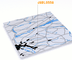 Places with similar names to Jabłonna, Poland ::
Disclaimer :: Information on this page comes without warranty of any kind |
||
|
Where is Jabłonna? Elevation and coordinates ::
Latitude (lat): 52°7'0"N Longitude (lon): 21°20'0"E
Elevation (approx.): 120m (map arrows pan, magnifying glasses zoom) |
||
|
Visiting Jabłonna? Hotel/Accommodation ::
Book a hotel in Jabłonna Travel Guide ::
Buy a travel guide for Poland rental cars ::
car rental offers GPS waypoint ::
download a GPX waypoint (PoI) of Jabłonna for your GPS receiver
|
||