|
search place name
|
||
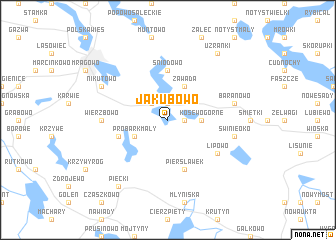
Jakubowo (Poland)Jakubowo is a town in Poland. An overview map of the region around Jakubowo is displayed below.
regional and 3d topo map of Jakubowo, Poland ::
Jakubowo airports ::
The nearest airport is KGD - Kaliningrad Khrabrovo, located 130.1 km north west of Jakubowo.
Other airports nearby include WAW - Warsaw Okecie (185.8 km south), Nearby towns ::
Kosewo (1.9km north) //
Probark Wielki (1.1km east) //
Poręby (2.2km north west) //
Nowy Probark (2.2km north west) //
Probark (2.2km north west) //
Kosewo Górne (2.2km east) //
Probark Mały (2.9km south west) //
Zawada (3.9km north) //
Śniodowo (5.6km north) //
Czerwonki (5.6km north) //
Piersławek (5.7km south) //
Brejdyny (3.8km south west) //
Lipowo (5.0km south east) //
Wierzbowo (4.4km west) //
Baranowo (4.8km north east) //
Świnie Oko (4.8km south east) //
Nikutowo (5.7km north west) //
Użranki (8.1km north east) //
Piecki (8.1km south west) //
[all distances 'as the bird flies' and approximate] 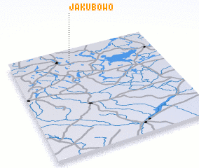 Places with similar names to Jakubowo, Poland ::
Disclaimer :: Information on this page comes without warranty of any kind |
||
|
Where is Jakubowo? Elevation and coordinates ::
Latitude (lat): 53°49'0"N Longitude (lon): 21°23'0"E
Elevation (approx.): 136m (map arrows pan, magnifying glasses zoom) |
||
|
Visiting Jakubowo? Hotel/Accommodation ::
Book a hotel in Jakubowo Travel Guide ::
Buy a travel guide for Poland rental cars ::
car rental offers GPS waypoint ::
download a GPX waypoint (PoI) of Jakubowo for your GPS receiver
|
||