|
search place name
|
||
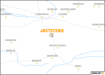
Jastrzębie (Poland)Jastrzębie is a town in Poland. An overview map of the region around Jastrzębie is displayed below.
regional and 3d topo map of Jastrzębie, Poland ::
Jastrzębie airports ::
The nearest airport is WRO - Wroclaw Strachowice, located 61.3 km west of Jastrzębie.
Other airports nearby include KTW - Katowice Pyrzowice (111.6 km south east), OSR - Ostrava Mosnov (149.1 km south), POZ - Poznan Lawica (168.8 km north), PRV - Prerov (178.7 km south), Nearby towns ::
Biestrzykowice (3.9km south) //
Świerczów (7.4km south) //
Namysłów (7.8km north) //
Rychnów (7.8km north) //
Stare Miasto (7.8km north) //
[all distances 'as the bird flies' and approximate] 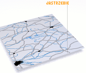 Places with similar names to Jastrzębie, Poland ::
// Jastrząb (PL)
// Jastrząb (PL)
// Jastrząb (PL)
// Jastrzębia (PL)
// Jastrzębia (PL)
// Jastrzębia (PL)
// Jastrzębia (PL)
// Jastrzębia (PL)
// Jastrzębia (PL)
// Jastrzębia (PL)
Disclaimer :: Information on this page comes without warranty of any kind |
||
|
Where is Jastrzębie? Elevation and coordinates ::
Latitude (lat): 51°1'0"N Longitude (lon): 17°45'0"E
Elevation (approx.): 161m (map arrows pan, magnifying glasses zoom) |
||
|
Visiting Jastrzębie? Hotel/Accommodation ::
Book a hotel in Jastrzębie Travel Guide ::
Buy a travel guide for Poland rental cars ::
car rental offers GPS waypoint ::
download a GPX waypoint (PoI) of Jastrzębie for your GPS receiver
|
||