|
search place name
|
||
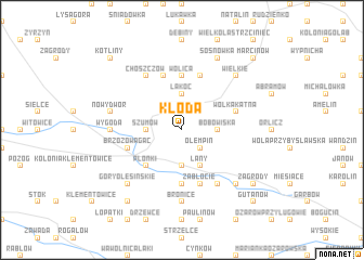
Kłoda (Poland)Kłoda is a town in Poland. An overview map of the region around Kłoda is displayed below.
regional and 3d topo map of Kłoda, Poland ::
Kłoda airports ::
The nearest airport is WAW - Warsaw Okecie, located 120.7 km north west of Kłoda.
Other airports nearby include RZE - Rzeszow Jasionka (146.1 km south), LWO - Lvov Lviv Intl (216.1 km south east), Nearby towns ::
Zastawie (1.9km north) //
Barłogi (2.2km north west) //
Olempin (2.2km south east) //
Łakoc (3.7km north) //
Szumów (2.3km west) //
Bobowiska (2.3km east) //
Kaleń (3.7km south) //
Łany (3.9km south) //
Płonki (4.4km south west) //
Kurów (4.4km south west) //
Olszowiec (5.6km south) //
Wolica (5.6km north) //
Wólka Kątna (3.9km north east) //
Glinnik (3.9km north east) //
Marianka (5.7km north) //
Izabelmont (5.7km north) //
Zabłocie (5.7km south) //
Brzozowa Gać (3.9km south west) //
Bronisławka (6.0km north west) //
Choszczów (6.0km north west) //
Markuszów (6.0km south east) //
Wygoda (4.6km west) //
Kolonia Nowy Dwór (4.6km west) //
Bronice (7.4km south) //
Nowy Dwór (5.0km west) //
Dęba (5.0km west) //
Wielkie (6.6km north east) //
Przybysławice (6.6km south east) //
Góry (6.6km south east) //
[all distances 'as the bird flies' and approximate] 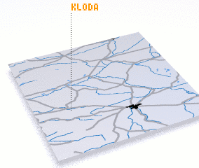 Places with similar names to Kłoda, Poland ::
Disclaimer :: Information on this page comes without warranty of any kind |
||
|
Where is Kłoda? Elevation and coordinates ::
Latitude (lat): 51°25'0"N Longitude (lon): 22°14'0"E
Elevation (approx.): 151m (map arrows pan, magnifying glasses zoom) |
||
|
Visiting Kłoda? Hotel/Accommodation ::
Book a hotel in Kłoda Travel Guide ::
Buy a travel guide for Poland rental cars ::
car rental offers GPS waypoint ::
download a GPX waypoint (PoI) of Kłoda for your GPS receiver
|
||