|
search place name
|
||
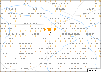
Koble (Poland)Koble is a town in Poland. An overview map of the region around Koble is displayed below.
regional and 3d topo map of Koble, Poland ::
Koble airports ::
The nearest airport is POZ - Poznan Lawica, located 123.0 km west of Koble.
Other airports nearby include WRO - Wroclaw Strachowice (163.4 km south west), KTW - Katowice Pyrzowice (188.0 km south), Nearby towns ::
Bzowiec (1.9km north) //
Białkow Górny (1.9km north) //
Olimpia (2.2km south east) //
Halin (2.2km south west) //
Kolonia Leszcze (2.2km north east) //
Tarnowa (3.7km south) //
Daniszew (2.3km east) //
Nowa Wieś (3.9km south) //
Brudzew (2.9km south east) //
Leszcze (3.9km north) //
Białkow Kościelny (3.9km north) //
Leszcze Częściowe (2.9km north west) //
Straszków (4.3km north east) //
Marulew (5.6km south) //
Bratuszyn (5.6km south) //
Skarbki (3.4km west) //
Kolnica (5.7km south) //
Kolonia Brudzew (3.9km south east) //
Kościelec (5.7km north) //
Police (3.9km north east) //
Dąbrowice Częsciowe (3.9km north west) //
Police Średnie (3.9km north east) //
Gozdów (6.0km north) //
Chrząblice (6.0km south) //
Galew (6.0km south) //
Kolonia Galew (7.4km south) //
Police Ruszkowskie (4.6km east) //
Kalinówka (7.5km south) //
Łęka (4.9km east) //
[all distances 'as the bird flies' and approximate] 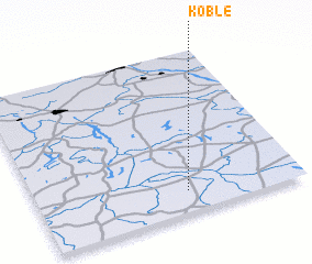 Places with similar names to Koble, Poland ::
Disclaimer :: Information on this page comes without warranty of any kind |
||
|
Where is Koble? Elevation and coordinates ::
Latitude (lat): 52°8'0"N Longitude (lon): 18°34'0"E
Elevation (approx.): 117m (map arrows pan, magnifying glasses zoom) |
||
|
Visiting Koble? Hotel/Accommodation ::
Book a hotel in Koble Travel Guide ::
Buy a travel guide for Poland rental cars ::
car rental offers GPS waypoint ::
download a GPX waypoint (PoI) of Koble for your GPS receiver
|
||