|
search place name
|
||
Lelewo (Poland)Lelewo is a town in Poland. An overview map of the region around Lelewo is displayed below.
regional and 3d topo map of Lelewo, Poland ::

Lelewo airports ::
The nearest airport is WAW - Warsaw Okecie, located 48.2 km south of Lelewo.
Nearby towns ::
Cieksyn (1.1km west) //
Andzin (2.2km north west) //
Malczyn (2.2km north east) //
Borkowo (2.3km west) //
Gawłowo (3.7km north) //
Morgi (2.3km east) //
Ruszkowo (2.9km north east) //
Dębinki (2.9km south east) //
Zaborze (3.9km south) //
Konary (4.3km north east) //
Gawłówek (5.6km north) //
Goławice (5.7km south) //
Toruń (5.7km south) //
Rostki Małe (5.7km north) //
Rostki (5.7km north) //
Błędówko (6.0km south) //
Chlebiotki (5.0km north east) //
Zakobiel Duża (6.0km north) //
Zakobiel Mała (6.0km north) //
Winniki (6.0km north) //
Miekoszyn (5.0km south east) //
Dobra Wola (4.5km west) //
Pieścirogi Nowe (4.5km east) //
Rostki Duże (7.5km north) //
Latonice (7.5km north) //
Świerkowo (7.5km north) //
Pieścirogi Stare (4.9km east) //
Studzianki (4.9km east) //
Śniadowo (6.5km south west) //
[all distances 'as the bird flies' and approximate] 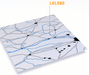 Places with similar names to Lelewo, Poland ::
Disclaimer :: Information on this page comes without warranty of any kind |
||
|
Where is Lelewo? Elevation and coordinates ::
Latitude (lat): 52°34'0"N Longitude (lon): 20°42'0"E
Elevation (approx.): 90m (map arrows pan, magnifying glasses zoom) |
||
|
Visiting Lelewo? Hotel/Accommodation ::
Book a hotel in Lelewo Travel Guide ::
Buy a travel guide for Poland rental cars ::
car rental offers GPS waypoint ::
download a GPX waypoint (PoI) of Lelewo for your GPS receiver
|
||