|
search place name
|
||
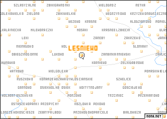
Leśniewo (Poland)Leśniewo is a town in Poland. An overview map of the region around Leśniewo is displayed below.
regional and 3d topo map of Leśniewo, Poland ::
Leśniewo airports ::
The nearest airport is WAW - Warsaw Okecie, located 76.2 km south of Leśniewo.
Nearby towns ::
Rafały (1.1km west) //
Wólka Łukowska (2.2km north west) //
Tłucznice (2.2km south west) //
Chełchy Klimki (2.2km north east) //
Chełchy Iłowe (3.7km north) //
Malechy (2.2km east) //
Byszewo Wygoda (3.9km south) //
Byszewo (2.9km south east) //
Karniewo (2.9km south east) //
Zaręby (4.3km north east) //
Zalesie (4.3km north east) //
Konarzewo Zawady Dworskie (4.3km south west) //
Mosaki (5.6km north) //
Łukowo (3.4km west) //
Konarzewo Bolesty (5.7km south) //
Wielgołęka (5.0km south west) //
Konarzewo (6.0km south) //
Konarzewo Zawady (6.0km south) //
Konarzewo Zawady Włościańskie (6.0km south) //
Zarbin Karniewski (4.5km east) //
Grochy Stare (7.5km south) //
Wężewo (7.5km north) //
Wóity Trojany (7.5km south) //
Krasne (7.5km north) //
Milewo Brzegędy (4.8km north west) //
Gołymin Nowy (6.5km south west) //
Czarnostów (6.5km south east) //
Osiek (7.7km south) //
Kozin (7.7km north) //
[all distances 'as the bird flies' and approximate] 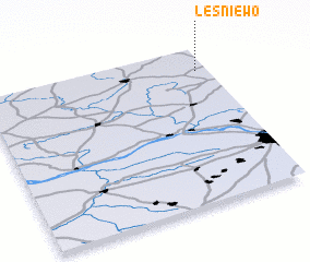 Places with similar names to Leśniewo, Poland ::
Disclaimer :: Information on this page comes without warranty of any kind |
||
|
Where is Leśniewo? Elevation and coordinates ::
Latitude (lat): 52°51'0"N Longitude (lon): 20°57'0"E
Elevation (approx.): 106m (map arrows pan, magnifying glasses zoom) |
||
|
Visiting Leśniewo? Hotel/Accommodation ::
Book a hotel in Leśniewo Travel Guide ::
Buy a travel guide for Poland rental cars ::
car rental offers GPS waypoint ::
download a GPX waypoint (PoI) of Leśniewo for your GPS receiver
|
||