|
search place name
|
||
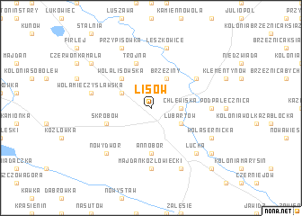
Lisów (Poland)Lisów is a town in Poland. An overview map of the region around Lisów is displayed below.
regional and 3d topo map of Lisów, Poland ::
Lisów airports ::
The nearest airport is WAW - Warsaw Okecie, located 135.8 km north west of Lisów.
Other airports nearby include RZE - Rzeszow Jasionka (158.2 km south), LWO - Lvov Lviv Intl (209.1 km south east), Nearby towns ::
Chlewiska (2.3km east) //
Szczekarków (2.3km east) //
Lubartów (3.0km south east) //
Mieczysławówka (3.0km north west) //
Brzeziny (3.9km north) //
Wola Lisowska (4.4km north west) //
Annobór (5.6km south) //
Skrobów (3.9km south west) //
Trójna (5.7km north) //
Górka Lubartowska (5.1km north east) //
Majdan Kozłowiecki (7.4km south) //
Pałecznica (4.6km east) //
Leszkowice (7.5km north) //
Wola Mieczysławska (5.0km west) //
Łucka (6.6km south east) //
Kolonia Łucka (6.6km south east) //
Nowy Dwór (6.6km south west) //
Trzciniec (7.8km south) //
Wola Sernicka (5.9km south east) //
Przypisówka (7.8km north) //
Serniki (7.2km south east) //
Czerwonka Gozdów (7.2km north west) //
Baranówka (8.7km south east) //
[all distances 'as the bird flies' and approximate] 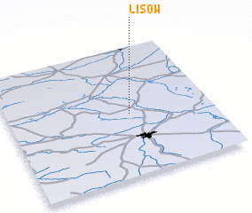 Places with similar names to Lisów, Poland ::
Disclaimer :: Information on this page comes without warranty of any kind |
||
|
Where is Lisów? Elevation and coordinates ::
Latitude (lat): 51°29'0"N Longitude (lon): 22°36'0"E
Elevation (approx.): 156m (map arrows pan, magnifying glasses zoom) |
||
|
Visiting Lisów? Hotel/Accommodation ::
Book a hotel in Lisów Travel Guide ::
Buy a travel guide for Poland rental cars ::
car rental offers GPS waypoint ::
download a GPX waypoint (PoI) of Lisów for your GPS receiver
|
||