|
search place name
|
||
Lubowiez (Poland)Lubowiez is a town in Poland. An overview map of the region around Lubowiez is displayed below.
regional and 3d topo map of Lubowiez, Poland ::

Lubowiez airports ::
The nearest airport is RZE - Rzeszow Jasionka, located 173.3 km south west of Lubowiez.
Other airports nearby include LWO - Lvov Lviv Intl (185.9 km south), Nearby towns ::
Dominiczyn (2.2km north west) //
Kołacze (3.7km north) //
Ostrówek-Kołacze (3.0km north east) //
Wincencin (4.4km south west) //
Wytyczno (3.5km west) //
Kulczyn (5.6km south) //
Brus (5.7km north) //
Kolonia Kulczyn (5.7km south) //
Kolonia Kulczyn (6.0km south east) //
Wojciechów (7.5km south) //
Ujazdów (7.2km south east) //
Czerniejów (7.2km north west) //
Lasek Bruski (8.2km north west) //
Stary Majdan (8.7km south east) //
Sęków (8.7km south west) //
[all distances 'as the bird flies' and approximate] 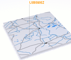 Places with similar names to Lubowiez, Poland ::
// Lubiewice (PL)
Disclaimer :: Information on this page comes without warranty of any kind |
||
|
Where is Lubowiez? Elevation and coordinates ::
Latitude (lat): 51°26'0"N Longitude (lon): 23°19'0"E
Elevation (approx.): 172m (map arrows pan, magnifying glasses zoom) |
||
|
Visiting Lubowiez? Hotel/Accommodation ::
Book a hotel in Lubowiez Travel Guide ::
Buy a travel guide for Poland rental cars ::
car rental offers GPS waypoint ::
download a GPX waypoint (PoI) of Lubowiez for your GPS receiver
|
||