|
search place name
|
||
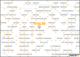
Mydłów (Poland)Mydłów is a town in Poland. An overview map of the region around Mydłów is displayed below.
regional and 3d topo map of Mydłów, Poland ::
Mydłów airports ::
The nearest airport is RZE - Rzeszow Jasionka, located 81.2 km south east of Mydłów.
Other airports nearby include KRK - Krakow Balice (134.0 km south west), WAW - Warsaw Okecie (163.8 km north), TAT - Poprad Tatry (200.3 km south west), Nearby towns ::
Borków (1.2km west) //
Kamieniec (1.2km west) //
Mydłowiec (1.9km north) //
Przepiórów (1.9km south) //
Płaczkowice (2.2km south east) //
Kopiec (2.3km west) //
Boduszów (2.3km west) //
Konary (3.7km south) //
Kaczyce (2.3km east) //
Krępa (3.0km north west) //
Strzyżowice (3.9km north) //
Józefów (3.9km north) //
Kujawy (3.0km south west) //
Ublinek (3.9km north) //
Krzyśle (4.4km south west) //
Łazy (4.4km south west) //
Ułanowice (5.6km south) //
Toporów (3.5km west) //
Łownica (3.5km east) //
Maryncin (3.5km east) //
Bartłomiejów (5.6km north) //
Swojków (4.0km north east) //
Kochów (5.7km north) //
Domaradzice (6.0km south west) //
Sobiekurów (5.1km north west) //
Kobylany (6.0km north west) //
Pokrzywianka (6.0km south east) //
Nowa Wieś (6.0km south east) //
Gojców (6.0km north east) //
[all distances 'as the bird flies' and approximate] 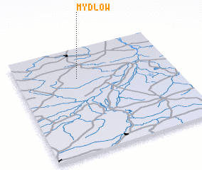 Places with similar names to Mydłów, Poland ::
Disclaimer :: Information on this page comes without warranty of any kind |
||
|
Where is Mydłów? Elevation and coordinates ::
Latitude (lat): 50°43'0"N Longitude (lon): 21°23'0"E
Elevation (approx.): 259m (map arrows pan, magnifying glasses zoom) |
||
|
Visiting Mydłów? Hotel/Accommodation ::
Book a hotel in Mydłów Travel Guide ::
Buy a travel guide for Poland rental cars ::
car rental offers GPS waypoint ::
download a GPX waypoint (PoI) of Mydłów for your GPS receiver
|
||