|
search place name
|
||
Pelagia (Poland)Pelagia is a town in Poland. An overview map of the region around Pelagia is displayed below.
regional and 3d topo map of Pelagia, Poland ::

Pelagia airports ::
The nearest airport is WAW - Warsaw Okecie, located 136.4 km north east of Pelagia.
Other airports nearby include KTW - Katowice Pyrzowice (136.4 km south), KRK - Krakow Balice (186.2 km south), Nearby towns ::
Julianów (0.0km north) //
Dobków (1.1km west) //
Chorzeszów (1.1km east) //
Wodzierady (2.2km north east) //
Leśnica (3.7km north) //
Kiki (3.7km south) //
Karszew (3.7km south) //
Hipolitów (3.0km south east) //
Turobów (3.0km south east) //
Dobruchów (4.4km north west) //
Wrzeszczewice (4.4km south west) //
Kwiatkowice (5.6km north) //
Włodzimierz (3.4km east) //
Wilamów (3.4km west) //
Ludowinka (3.4km east) //
Krzacz (5.6km south) //
Czarnyska Wola (5.7km north) //
Magdalenów (3.9km north east) //
Wrzeszczewice Nowe (3.9km south west) //
Jesionna (3.9km south east) //
Piorunów (6.0km north) //
Czarnyż (6.0km north) //
Mikołajewice (5.1km north east) //
Mauryców (5.1km south east) //
Rembów (6.0km south) //
Anielin (7.4km south) //
Wola Górna (5.0km west) //
Remiszew (5.0km west) //
Dziechtarzew (6.5km north east) //
[all distances 'as the bird flies' and approximate] 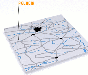 Places with similar names to Pelagia, Poland ::
Disclaimer :: Information on this page comes without warranty of any kind |
||
|
Where is Pelagia? Elevation and coordinates ::
Latitude (lat): 51°42'0"N Longitude (lon): 19°8'0"E
Elevation (approx.): 184m (map arrows pan, magnifying glasses zoom) |
||
|
Visiting Pelagia? Hotel/Accommodation ::
Book a hotel in Pelagia Travel Guide ::
Buy a travel guide for Poland rental cars ::
car rental offers GPS waypoint ::
download a GPX waypoint (PoI) of Pelagia for your GPS receiver
|
||