|
search place name
|
||
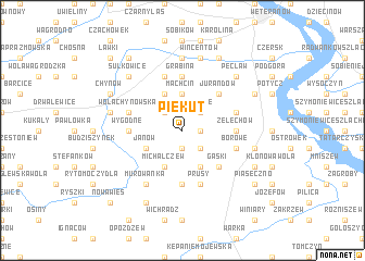
Piekut (Poland)Piekut is a town in Poland. An overview map of the region around Piekut is displayed below.
regional and 3d topo map of Piekut, Poland ::
Piekut airports ::
The nearest airport is WAW - Warsaw Okecie, located 33.8 km north of Piekut.
Other airports nearby include RZE - Rzeszow Jasionka (206.5 km south), KRK - Krakow Balice (222.6 km south west), Nearby towns ::
Watraszew (1.9km south) //
Żelazna (1.1km east) //
Skoszyn (2.2km south east) //
Wenszelówka (2.2km north west) //
Zalesie (2.2km north east) //
Machcin (3.7km north) //
Janów (2.9km south west) //
Michalczew (3.9km south) //
Hornigi (3.9km south) //
Jakubowizna (3.9km north) //
Gąski (4.4km south east) //
Jurandów (4.4km north east) //
Gośniewice (5.6km south) //
Krężel (3.4km west) //
Wygodne (3.4km west) //
Żelechów (3.4km east) //
Grabina (5.6km north) //
Borowe (3.9km south east) //
Prusy (5.7km south) //
Wola Chynowska (3.9km north west) //
Rososzka (3.9km north east) //
Grabice (5.7km north) //
Murowanka (6.0km south) //
Czaplinek (7.4km north) //
Magierowa Wola (4.9km east) //
Edwardów (4.9km west) //
Wincentów (7.5km north) //
Sułkowice (6.5km north west) //
Pęcław (6.5km north east) //
[all distances 'as the bird flies' and approximate] 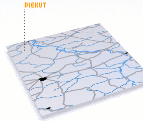 Places with similar names to Piekut, Poland ::
Disclaimer :: Information on this page comes without warranty of any kind |
||
|
Where is Piekut? Elevation and coordinates ::
Latitude (lat): 51°53'0"N Longitude (lon): 21°9'0"E
Elevation (approx.): 118m (map arrows pan, magnifying glasses zoom) |
||
|
Visiting Piekut? Hotel/Accommodation ::
Book a hotel in Piekut Travel Guide ::
Buy a travel guide for Poland rental cars ::
car rental offers GPS waypoint ::
download a GPX waypoint (PoI) of Piekut for your GPS receiver
|
||