|
search place name
|
||
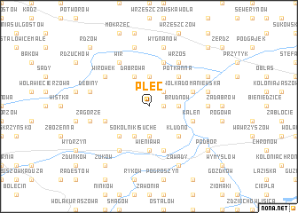
Plec (Poland)Plec is a town in Poland. An overview map of the region around Plec is displayed below.
regional and 3d topo map of Plec, Poland ::
Plec airports ::
The nearest airport is WAW - Warsaw Okecie, located 84.1 km north of Plec.
Other airports nearby include KTW - Katowice Pyrzowice (160.0 km south west), KRK - Krakow Balice (165.3 km south west), RZE - Rzeszow Jasionka (168.9 km south east), Nearby towns ::
Wola Brudnowska (1.2km east) //
Posada (2.2km north east) //
Brudnów (2.3km east) //
Ostrołęka (3.7km north) //
Kochanów (3.7km south) //
Dąbrowa (3.9km north) //
Sokolniki Suche (3.9km south) //
Potkanna (4.4km north east) //
Kłudno (4.4km south east) //
Kamień (4.4km south west) //
Wieniawa (5.6km south) //
Wólka Domaniewska (3.9km north east) //
Jabłonica (5.7km south) //
Goszczewice (5.7km north) //
Komorów (3.9km south west) //
Kaleń (3.9km south east) //
Wrzos (6.0km north east) //
Wir (6.0km north west) //
Sokolniki Mokre (6.0km south west) //
Jamki (5.1km north west) //
Wirówek (5.1km north west) //
Głogów (4.6km east) //
Wygnanów (7.5km north) //
Marysin (7.5km north) //
Młodnice (5.0km east) //
Dębiny (5.0km west) //
Zagórze (5.0km west) //
Zawady (7.8km south) //
Koryciska (7.8km south) //
[all distances 'as the bird flies' and approximate] 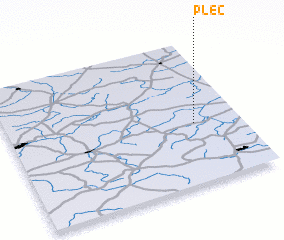 Places with similar names to Plec, Poland ::
Disclaimer :: Information on this page comes without warranty of any kind |
||
|
Where is Plec? Elevation and coordinates ::
Latitude (lat): 51°25'0"N Longitude (lon): 20°48'0"E
Elevation (approx.): 168m (map arrows pan, magnifying glasses zoom) |
||
|
Visiting Plec? Hotel/Accommodation ::
Book a hotel in Plec Travel Guide ::
Buy a travel guide for Poland rental cars ::
car rental offers GPS waypoint ::
download a GPX waypoint (PoI) of Plec for your GPS receiver
|
||