|
search place name
|
||
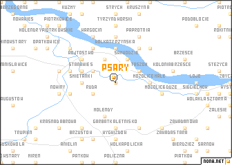
Psary (Poland)Psary is a town in Poland. An overview map of the region around Psary is displayed below.
regional and 3d topo map of Psary, Poland ::
Psary airports ::
The nearest airport is WAW - Warsaw Okecie, located 80.9 km north west of Psary.
Other airports nearby include RZE - Rzeszow Jasionka (164.3 km south), KRK - Krakow Balice (210.7 km south west), Nearby towns ::
Brzeźnica (0.0km north) //
Janików (3.0km north west) //
Dąbrówki (3.9km north) //
Ruda (3.0km south west) //
Samwodzie (3.9km north) //
Staszów (3.0km north east) //
Śmietanki (3.5km west) //
Mozolice Małe (3.5km east) //
Wólka Tyrzyńska (5.6km north) //
Molendy (5.7km south) //
Stara Wieś (3.9km north west) //
Wójtostwo (5.1km north west) //
Holendry (6.0km north) //
Pawłowice (6.0km north) //
Tyrzyn Malwinów (7.4km north) //
Garbatka-Letnisko (7.4km south) //
Kozienice (5.0km west) //
Kociołki (5.0km west) //
Mozolice Duże (5.0km east) //
Piotrowice (6.5km north east) //
Długowola (6.5km north east) //
Wargocin (7.8km north) //
Paprotnia (7.8km north) //
Garbatka Długa (7.8km south) //
Cudów (7.2km north west) //
Bogucin (8.2km south west) //
Bąkowiec (8.7km south east) //
[all distances 'as the bird flies' and approximate] 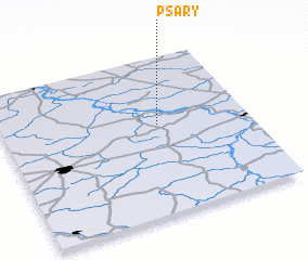 Places with similar names to Psary, Poland ::
Disclaimer :: Information on this page comes without warranty of any kind |
||
|
Where is Psary? Elevation and coordinates ::
Latitude (lat): 51°34'0"N Longitude (lon): 21°38'0"E
Elevation (approx.): 106m (map arrows pan, magnifying glasses zoom) |
||
|
Visiting Psary? Hotel/Accommodation ::
Book a hotel in Psary Travel Guide ::
Buy a travel guide for Poland rental cars ::
car rental offers GPS waypoint ::
download a GPX waypoint (PoI) of Psary for your GPS receiver
|
||