|
search place name
|
||
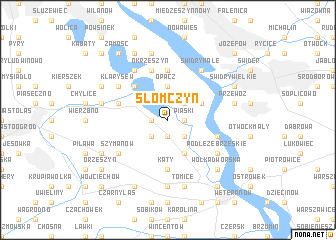
Słomczyn (Poland)Słomczyn is a town in Poland. An overview map of the region around Słomczyn is displayed below.
regional and 3d topo map of Słomczyn, Poland ::
Słomczyn airports ::
The nearest airport is WAW - Warsaw Okecie, located 17.6 km north west of Słomczyn.
Other airports nearby include RZE - Rzeszow Jasionka (225.7 km south), KRK - Krakow Balice (241.5 km south west), Nearby towns ::
Piaski (1.1km east) //
Turowice (1.9km south) //
Obory (1.1km west) //
Kawęczyn (1.9km south) //
Łęg (2.2km north east) //
Cieciszew (2.2km south east) //
Kawęczynek (2.2km south west) //
Opacz (3.7km north) //
Gąssy (2.9km north east) //
Brześce (3.9km south) //
Jeziorna Bankowa (4.4km north west) //
Jeziorna (4.4km north west) //
Baniocha (5.6km south) //
Kąty (5.6km south) //
Kępa Oborska (5.6km north) //
Obórki (5.6km north) //
Jeziorna Oborska (3.9km north west) //
Skolimów (3.9km north west) //
Konstancin-Jeziorna (3.9km north west) //
Nadbrzeż (3.9km south east) //
Okrzeszyn (5.7km north) //
Klarysew (5.0km north west) //
Świdry Małe (6.0km north) //
Podłęże Brzeskie (5.0km south east) //
Szymanów (5.0km south west) //
Bielawa (6.0km north) //
Kąty (7.4km south) //
Przewóz (4.9km east) //
Kępa Okrzewska (7.5km north) //
[all distances 'as the bird flies' and approximate] 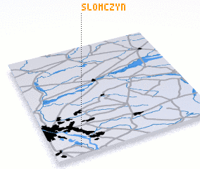
Disclaimer :: Information on this page comes without warranty of any kind |
||
|
Where is Słomczyn? Elevation and coordinates ::
Latitude (lat): 52°4'0"N Longitude (lon): 21°10'0"E
Elevation (approx.): 89m (map arrows pan, magnifying glasses zoom) |
||
|
Visiting Słomczyn? Hotel/Accommodation ::
Book a hotel in Słomczyn Travel Guide ::
Buy a travel guide for Poland rental cars ::
car rental offers GPS waypoint ::
download a GPX waypoint (PoI) of Słomczyn for your GPS receiver
|
||