|
search place name
|
||
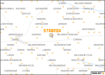
Stabrów (Poland)Stabrów is a town in Poland. An overview map of the region around Stabrów is displayed below.
regional and 3d topo map of Stabrów, Poland ::
Stabrów airports ::
The nearest airport is LWO - Lvov Lviv Intl, located 110.7 km south of Stabrów.
Other airports nearby include RZE - Rzeszow Jasionka (118.2 km south west), Nearby towns ::
Jarosławiec (2.2km south east) //
Sitno (2.2km north east) //
Kolonia Bożydar (4.4km south east) //
Janówka (4.4km north east) //
Kornelówka (4.4km north west) //
Barchaczów (5.6km south) //
Wólka Horyszowska (3.5km east) //
Szopinek (3.5km west) //
Łabuńki (5.7km south) //
Horyszów Polski (4.0km north east) //
Wólka Panieńska (5.1km south west) //
Jatutów (5.1km south west) //
Czołki (5.1km north west) //
Dębowiec (6.0km north west) //
Brudek (6.6km south east) //
Wierzbie (7.8km south) //
Ruszów (7.8km south) //
Kalinowice Ordynackie (6.0km south west) //
Sławęcin (7.8km north) //
Kolonia Wierzbie (8.2km south west) //
Żuków Łagodziński (7.3km north east) //
Pniówek (7.3km south west) //
Stanisławka (8.8km north east) //
Kolonia Udrycze Druga (8.8km north west) //
[all distances 'as the bird flies' and approximate] 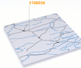 Places with similar names to Stabrów, Poland ::
Disclaimer :: Information on this page comes without warranty of any kind |
||
|
Where is Stabrów? Elevation and coordinates ::
Latitude (lat): 50°44'0"N Longitude (lon): 23°22'0"E
Elevation (approx.): 216m (map arrows pan, magnifying glasses zoom) |
||
|
Visiting Stabrów? Hotel/Accommodation ::
Book a hotel in Stabrów Travel Guide ::
Buy a travel guide for Poland rental cars ::
car rental offers GPS waypoint ::
download a GPX waypoint (PoI) of Stabrów for your GPS receiver
|
||