|
search place name
|
||
Studzieniec (Poland)Studzieniec is a town in Poland. An overview map of the region around Studzieniec is displayed below.
regional and 3d topo map of Studzieniec, Poland ::

Studzieniec airports ::
The nearest airport is IEG - Zielona Gora Babimost, located 40.9 km north east of Studzieniec.
Other airports nearby include BBJ - Bautzen (99.2 km south west), POZ - Poznan Lawica (110.6 km north east), WRO - Wroclaw Strachowice (120.1 km south east), DRS - Dresden (145.4 km south west), Nearby towns ::
Mirocin Dolny (2.9km south west) //
Mirocin Średni (4.4km south west) //
Kożuchów (6.0km south) //
Mirocin Górny (6.0km south) //
Zatonie (7.4km north) //
[all distances 'as the bird flies' and approximate] 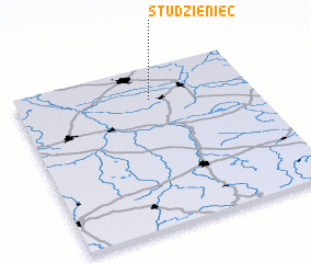 Places with similar names to Studzieniec, Poland ::
// Statsenko (RU)
// Statzing (AT)
// Stotzing (AT)
// Stützing (DE)
// Studzianka (PL)
// Studzianka (PL)
// Studzianki (PL)
// Studzianki (PL)
// Studzianki (PL)
// Studzianki (PL)
Disclaimer :: Information on this page comes without warranty of any kind |
||
|
Where is Studzieniec? Elevation and coordinates ::
Latitude (lat): 51°48'0"N Longitude (lon): 15°34'0"E
Elevation (approx.): 76m (map arrows pan, magnifying glasses zoom) |
||
|
Visiting Studzieniec? Hotel/Accommodation ::
Book a hotel in Studzieniec Travel Guide ::
Buy a travel guide for Poland rental cars ::
car rental offers GPS waypoint ::
download a GPX waypoint (PoI) of Studzieniec for your GPS receiver
|
||