|
search place name
|
||
Taborzec (Poland)Taborzec is a town in Poland. An overview map of the region around Taborzec is displayed below.
regional and 3d topo map of Taborzec, Poland ::

Taborzec airports ::
The nearest airport is KGD - Kaliningrad Khrabrovo, located 91.1 km north west of Taborzec.
Nearby towns ::
Barciany (1.9km north) //
Płatławki (1.9km south) //
Radosze (2.9km north west) //
Kiemławki Małe (3.9km south) //
Borszyny (4.3km south west) //
Dębiany (3.3km east) //
Kąpławki (3.3km west) //
Gęsiki (5.7km north) //
Winda (4.9km south east) //
Rodele (4.7km south east) //
Borki (7.5km south) //
Suchawa (7.0km north east) //
Garbno (8.6km south west) //
[all distances 'as the bird flies' and approximate] 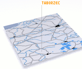 Places with similar names to Taborzec, Poland ::
// Tabarsuk (RU)
// Doberschau (DE)
// Dąbrowskie (PL)
// Dąbrowskie (PL)
// Dobrskie (PL)
// Dobrzec (PL)
// Dobrzyca (PL)
// Dobrzyca (PL)
// Dobrzyca (PL)
// Dobrzyki (PL)
Disclaimer :: Information on this page comes without warranty of any kind |
||
|
Where is Taborzec? Elevation and coordinates ::
Latitude (lat): 54°12'0"N Longitude (lon): 21°21'0"E
Elevation (approx.): 59m (map arrows pan, magnifying glasses zoom) |
||
|
Visiting Taborzec? Hotel/Accommodation ::
Book a hotel in Taborzec Travel Guide ::
Buy a travel guide for Poland rental cars ::
car rental offers GPS waypoint ::
download a GPX waypoint (PoI) of Taborzec for your GPS receiver
|
||