|
search place name
|
||
Zdroje (Poland)Zdroje is a town in Poland. An overview map of the region around Zdroje is displayed below.
regional and 3d topo map of Zdroje, Poland ::

Zdroje airports ::
The nearest airport is POZ - Poznan Lawica, located 74.5 km west of Zdroje.
Other airports nearby include WRO - Wroclaw Strachowice (157.6 km south west), KTW - Katowice Pyrzowice (225.6 km south), Nearby towns ::
Niezgoda (0.0km north) //
Kochowo (1.1km east) //
Marcewo (2.2km south east) //
Korwin (3.7km south) //
Giewartów (2.9km north east) //
Polanowo (3.9km north) //
Józefowo (3.9km south) //
Ciosna (2.9km south west) //
Kosewo (4.3km north east) //
Babin (4.3km south west) //
Powidz (5.6km north) //
Mieczownica (3.4km east) //
Holendry Giwartowskie (3.9km north east) //
Młodojewo (5.7km south) //
Brzozgaj (3.9km south east) //
Piotrowice (5.7km south) //
Tomiszewo (5.0km north east) //
Meszna (6.0km south) //
Babin Holendry (5.0km south west) //
Róża (7.4km south) //
Przybrodzin (7.5km north) //
Lipnica (6.5km north east) //
Marcewek (5.9km south east) //
Ostrowo (8.2km north east) //
Drążna (7.2km south east) //
Wiekowo (8.7km north west) //
[all distances 'as the bird flies' and approximate] 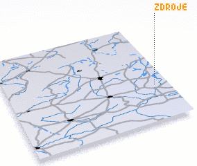 Places with similar names to Zdroje, Poland ::
// Strugi (RU)
// Strugi (RU)
// Cedar Ridge (US)
// Cedar Ridge (US)
// Cedar Ridge (US)
// Cedaredge (US)
// Cedar Ridge (US)
// Cedar Ridge (US)
// Store Eige (NO)
// Strugi (PL)
Disclaimer :: Information on this page comes without warranty of any kind |
||
|
Where is Zdroje? Elevation and coordinates ::
Latitude (lat): 52°22'0"N Longitude (lon): 17°55'0"E
Elevation (approx.): 113m (map arrows pan, magnifying glasses zoom) |
||
|
Visiting Zdroje? Hotel/Accommodation ::
Book a hotel in Zdroje Travel Guide ::
Buy a travel guide for Poland rental cars ::
car rental offers GPS waypoint ::
download a GPX waypoint (PoI) of Zdroje for your GPS receiver
|
||