|
search place name
|
||
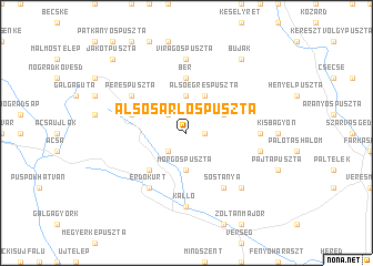
Alsósarlóspuszta (Nógrád, Hungary)Alsósarlóspuszta is a town in the Nógrád region of Hungary. An overview map of the region around Alsósarlóspuszta is displayed below.
regional and 3d topo map of Alsósarlóspuszta, Hungary ::
Alsósarlóspuszta airports ::
The nearest airport is BUD - Budapest Ferihegy, located 46.0 km south west of Alsósarlóspuszta.
Other airports nearby include SLD - Sliac (95.3 km north), TAT - Poprad Tatry (150.1 km north), PZY - Piestany (153.3 km north west), KSC - Kosice (159.9 km north east), Nearby towns ::
Ciframajor (1.2km east) //
Felsősarlóspuszta (2.2km north west) //
Makópuszta (2.2km south west) //
Felsőegrespuszta (3.7km north) //
Morgóspuszta (3.7km south) //
Szirák (3.1km north east) //
Alsóegrespuszta (3.9km north) //
Dolinapuszta (4.5km south west) //
Bér (5.6km north) //
Vanyarc (4.2km north west) //
Erdőkürt (6.1km south west) //
Sóstanya (6.1km south east) //
Perespuszta (5.3km north west) //
Virágospuszta (7.4km north) //
Csókapuszta (5.0km east) //
Kálló (7.4km south) //
Egyházasdengeleg (5.3km east) //
Erdőtarcsa (6.7km south east) //
Buják (8.3km north east) //
Jákotpuszta (8.9km north west) //
[all distances 'as the bird flies' and approximate] 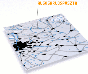 Places with similar names to Alsósarlóspuszta, Hungary :: Disclaimer :: Information on this page comes without warranty of any kind |
||
|
Where is Alsósarlóspuszta? Elevation and coordinates ::
Latitude (lat): 47°49'0"N Longitude (lon): 19°30'0"E
Elevation (approx.): 226m (map arrows pan, magnifying glasses zoom) |
||
|
Visiting Alsósarlóspuszta? Hotel/Accommodation ::
Book a hotel in Alsósarlóspuszta Travel Guide ::
Buy a travel guide for Hungary rental cars ::
car rental offers GPS waypoint ::
download a GPX waypoint (PoI) of Alsósarlóspuszta for your GPS receiver
|
||