|
search place name
|
||
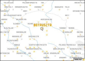
Botpuszta (Fejér, Hungary)Botpuszta is a town in the Fejér region of Hungary. An overview map of the region around Botpuszta is displayed below.
regional and 3d topo map of Botpuszta, Hungary ::
Botpuszta airports ::
The nearest airport is BUD - Budapest Ferihegy, located 39.5 km east of Botpuszta.
Other airports nearby include SLD - Sliac (133.6 km north), BTS - Bratislava M R Stefanik (138.1 km north west), PZY - Piestany (145.4 km north west), TAT - Poprad Tatry (210.8 km north east), Nearby towns ::
Paszkalinmajor (1.3km east) //
Klementinmajor (2.2km north east) //
Dávidmajor (2.2km north east) //
Etyek (2.2km south east) //
Háromrózsa (3.9km north) //
Richárdmajor (3.1km north west) //
Herceghalom (3.9km north) //
Vértpuszta (4.5km south west) //
Gőböljárás (5.3km south west) //
Szentgyörgypuszta (7.5km south) //
Bányavölgy (7.8km south) //
Pusztazámor (8.3km south east) //
Farkasfapuszta (8.3km south west) //
Kiseszter (8.9km north west) //
Mány (8.9km north west) //
Bélápapuszta (9.0km south west) //
[all distances 'as the bird flies' and approximate] 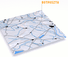 Places with similar names to Botpuszta, Hungary ::
// Bedepuszta (HU)
// Bótapuszta (HU)
Disclaimer :: Information on this page comes without warranty of any kind |
||
|
Where is Botpuszta? Elevation and coordinates ::
Latitude (lat): 47°28'0"N Longitude (lon): 18°44'0"E
Elevation (approx.): 187m (map arrows pan, magnifying glasses zoom) |
||
|
Visiting Botpuszta? Hotel/Accommodation ::
Book a hotel in Botpuszta Travel Guide ::
Buy a travel guide for Hungary rental cars ::
car rental offers GPS waypoint ::
download a GPX waypoint (PoI) of Botpuszta for your GPS receiver
|
||