|
search place name
|
||
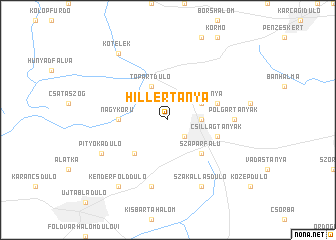
Hillértanya (Jász-Nagykun-Szolnok, Hungary)Hillértanya is a town in the Jász-Nagykun-Szolnok region of Hungary. An overview map of the region around Hillértanya is displayed below.
regional and 3d topo map of Hillértanya, Hungary ::
Hillértanya airports ::
The nearest airport is DEB - Debrecen, located 87.8 km east of Hillértanya.
Other airports nearby include BUD - Budapest Ferihegy (95.9 km west), OMR - Oradea (109.7 km east), ARW - Arad (134.5 km south east), KSC - Kosice (164.8 km north), Nearby towns ::
Rokkantrét (2.2km south east) //
Bálinttanyák (2.5km east) //
Fegyvernek (2.5km east) //
Feketehalom (2.5km east) //
Tóparttanya (3.1km north east) //
Tópartdůlő (3.9km north) //
Tiszabő (3.9km north) //
Szapárfalu (4.5km south east) //
Szakállas (4.5km south west) //
Kaszáló (3.8km west) //
Hegyes (3.8km west) //
Nagykörů (3.8km west) //
Eperjestanya (4.2km north east) //
Csillagtanyák (4.2km south east) //
Polgártanyák (5.0km east) //
Surjánytelep (7.5km south) //
Surjány (7.5km south) //
Szakállasdůlő (7.8km south) //
Perjéshátdůlő (6.2km south west) //
Pityókadůlő (6.2km south west) //
Kőtelek (8.3km north west) //
Kenderfölddůlő (8.3km south west) //
[all distances 'as the bird flies' and approximate] 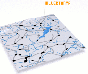 Places with similar names to Hillértanya, Hungary :: Disclaimer :: Information on this page comes without warranty of any kind |
||
|
Where is Hillértanya? Elevation and coordinates ::
Latitude (lat): 47°16'0"N Longitude (lon): 20°30'0"E
Elevation (approx.): 81m (map arrows pan, magnifying glasses zoom) |
||
|
Visiting Hillértanya? Hotel/Accommodation ::
Book a hotel in Hillértanya Travel Guide ::
Buy a travel guide for Hungary rental cars ::
car rental offers GPS waypoint ::
download a GPX waypoint (PoI) of Hillértanya for your GPS receiver
|
||