|
search place name
|
||
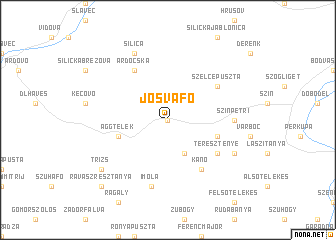
Jósvafő (Borsod-Abaúj-Zemplén, Hungary)Jósvafő is a town in the Borsod-Abaúj-Zemplén region of Hungary. An overview map of the region around Jósvafő is displayed below.
regional and 3d topo map of Jósvafő, Hungary ::
Jósvafő airports ::
The nearest airport is KSC - Kosice, located 53.6 km east of Jósvafő.
Other airports nearby include TAT - Poprad Tatry (69.9 km north), SLD - Sliac (107.1 km west), DEB - Debrecen (135.5 km south east), BUD - Budapest Ferihegy (152.1 km south west), Nearby towns ::
Kajta (0.0km north) //
Égerszög (3.9km south) //
Tornakápolna (4.1km south east) //
Aggtelek (4.1km south west) //
Teresztenye (5.2km south east) //
Kánó (6.1km south east) //
Szelcepuszta (5.2km north east) //
Ardocska (6.1km north west) //
Szinpetri (4.9km east) //
Imola (7.5km south) //
Szőlősardó (6.2km south east) //
Silica (7.8km north) //
Trizs (7.4km south west) //
Ravaszrésztanya (8.9km south west) //
[all distances 'as the bird flies' and approximate] 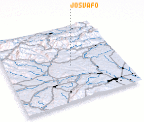 Places with similar names to Jósvafő, Hungary ::
Disclaimer :: Information on this page comes without warranty of any kind |
||
|
Where is Jósvafő? Elevation and coordinates ::
Latitude (lat): 48°29'0"N Longitude (lon): 20°34'0"E
Elevation (approx.): 271m (map arrows pan, magnifying glasses zoom) |
||
|
Visiting Jósvafő? Hotel/Accommodation ::
Book a hotel in Jósvafő Travel Guide ::
Buy a travel guide for Hungary rental cars ::
car rental offers GPS waypoint ::
download a GPX waypoint (PoI) of Jósvafő for your GPS receiver
|
||