|
search place name
|
||
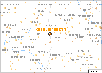
Katalinpuszta (Baranya, Hungary)Katalinpuszta is a town in the Baranya region of Hungary. An overview map of the region around Katalinpuszta is displayed below.
regional and 3d topo map of Katalinpuszta, Hungary ::
Katalinpuszta airports ::
The nearest airport is OSI - Osijek, located 67.9 km south east of Katalinpuszta.
Other airports nearby include BUD - Budapest Ferihegy (185.6 km north east), Nearby towns ::
Túrony (1.9km south) //
Eszterágpuszta (1.9km north east) //
Bisse (2.3km south east) //
Szalánta (3.0km north) //
Csarnóta (3.3km south west) //
Felsőmalom (2.8km north east) //
Bosta (3.6km north west) //
Garé (3.3km west) //
Pusztamalom (4.0km north east) //
Középmalom (3.8km east) //
Hattelek (3.9km east) //
Avastanya (4.1km east) //
Szilvás (5.3km north west) //
Nándorliget (6.5km north) //
Szőkédpuszta (5.2km north east) //
Áta (4.9km east) //
Szava (5.1km south west) //
Szőke (5.7km north west) //
Pogány (6.8km north) //
Ottmajor (6.8km north) //
Terehegy (7.1km south) //
Szőkéd (6.4km north east) //
Újpogány (7.3km north) //
Vaskapupuszta (5.6km west) //
Miskaháza (8.1km south) //
Kistótfalu (5.8km east) //
Harkány (8.2km south) //
Telegér (6.3km north east) //
Szentpálpuszta (7.7km north west) //
[all distances 'as the bird flies' and approximate] 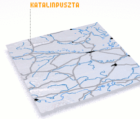 Places with similar names to Katalinpuszta, Hungary ::
Disclaimer :: Information on this page comes without warranty of any kind |
||
|
Where is Katalinpuszta? Elevation and coordinates ::
Latitude (lat): 45°55'18"N Longitude (lon): 18°14'7"E
Elevation (approx.): 173m (map arrows pan, magnifying glasses zoom) |
||
|
Visiting Katalinpuszta? Hotel/Accommodation ::
Book a hotel in Katalinpuszta Travel Guide ::
Buy a travel guide for Hungary rental cars ::
car rental offers GPS waypoint ::
download a GPX waypoint (PoI) of Katalinpuszta for your GPS receiver
|
||