|
search place name
|
||
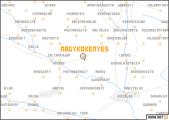
Nagykökényes (Heves, Hungary)Nagykökényes is a town in the Heves region of Hungary. An overview map of the region around Nagykökényes is displayed below.
regional and 3d topo map of Nagykökényes, Hungary ::
Nagykökényes airports ::
The nearest airport is BUD - Budapest Ferihegy, located 41.9 km south west of Nagykökényes.
Other airports nearby include SLD - Sliac (106.4 km north), TAT - Poprad Tatry (156.4 km north), KSC - Kosice (159.9 km north east), PZY - Piestany (164.9 km north west), Nearby towns ::
Fenyőharaszt (3.9km south) //
Heréd (4.5km south east) //
Újmajor (4.5km north east) //
Zoltánmajor (3.7km west) //
Verseg (4.2km south west) //
Pajtapuszta (5.7km north) //
Újvarsány (6.1km south east) //
Kiskartal (5.3km south west) //
Páltelek (6.1km north east) //
Erdőtarcsa (5.3km north west) //
Palotáshalom (7.4km north) //
Ilkamajor (5.0km west) //
Kerekharaszt (7.5km south) //
Egyházasdengeleg (7.8km north) //
Veresmajor (6.2km north east) //
Sóstanya (6.2km north west) //
Kartal (8.3km south west) //
Farkasmajor (8.9km north east) //
[all distances 'as the bird flies' and approximate] 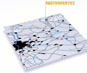 Places with similar names to Nagykökényes, Hungary :: Disclaimer :: Information on this page comes without warranty of any kind |
||
|
Where is Nagykökényes? Elevation and coordinates ::
Latitude (lat): 47°44'0"N Longitude (lon): 19°36'0"E
Elevation (approx.): 127m (map arrows pan, magnifying glasses zoom) |
||
|
Visiting Nagykökényes? Hotel/Accommodation ::
Book a hotel in Nagykökényes Travel Guide ::
Buy a travel guide for Hungary rental cars ::
car rental offers GPS waypoint ::
download a GPX waypoint (PoI) of Nagykökényes for your GPS receiver
|
||