|
search place name
|
||
Szabadföld (Bács-Kiskun, Hungary)Szabadföld is a town in the Bács-Kiskun region of Hungary. An overview map of the region around Szabadföld is displayed below.
regional and 3d topo map of Szabadföld, Hungary ::

Szabadföld airports ::
The nearest airport is OSI - Osijek, located 99.4 km south west of Szabadföld.
Other airports nearby include ARW - Arad (133.5 km east), BUD - Budapest Ferihegy (139.1 km north), TSR - Timisoara Traian Vuia (146.3 km east), BEG - Beograd (165.1 km south), Nearby towns ::
Alsóerdő (0.0km north) //
Örökföld (1.3km west) //
Tompa (2.1km north) //
Katona Sor (2.3km north west) //
Belső Új Sor (2.3km north east) //
Felsősáskalapos (2.6km east) //
Katonaföld (3.9km north) //
Ciframajor (3.2km north west) //
Kőrösoldal (3.9km north) //
Újföld (3.2km north east) //
Alsósáskalapos (3.2km south east) //
Külső Új Sor (4.3km north east) //
Vermesjárás (5.3km north east) //
Dózsamajor (5.1km west) //
Alsómajor (5.5km west) //
Almajor (7.5km north) //
Jankamajor (6.8km north west) //
Alsókovácsgyöp (6.8km north west) //
Piri Sor (6.8km south west) //
Kelebia (6.1km east) //
Kisszállás (9.2km north) //
Kelebiadůlő (9.0km south west) //
Csikéria (9.6km south west) //
[all distances 'as the bird flies' and approximate] 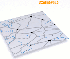 Places with similar names to Szabadföld, Hungary :: Disclaimer :: Information on this page comes without warranty of any kind |
||
|
Where is Szabadföld? Elevation and coordinates ::
Latitude (lat): 46°12'0"N Longitude (lon): 19°32'0"E
Elevation (approx.): 135m (map arrows pan, magnifying glasses zoom) |
||
|
Visiting Szabadföld? Hotel/Accommodation ::
Book a hotel in Szabadföld Travel Guide ::
Buy a travel guide for Hungary rental cars ::
car rental offers GPS waypoint ::
download a GPX waypoint (PoI) of Szabadföld for your GPS receiver
|
||