|
search place name
|
||
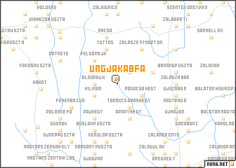
Ungjakabfa (Zala, Hungary)Ungjakabfa is a town in the Zala region of Hungary. An overview map of the region around Ungjakabfa is displayed below.
regional and 3d topo map of Ungjakabfa, Hungary ::
Ungjakabfa airports ::
The nearest airport is MBX - Maribor, located 105.0 km west of Ungjakabfa.
Other airports nearby include ZAG - Zagreb (125.3 km south west), GRZ - Graz (127.4 km west), VIE - Vienna Schwechat (166.1 km north), BTS - Bratislava M R Stefanik (169.6 km north), Nearby towns ::
Szegfalusihegy (2.2km north east) //
Dióskál (2.2km north east) //
Alsórajk (2.5km west) //
Kerecseny (3.9km south) //
Gudorvölgy (3.9km south) //
Törökcsapáshegy (3.9km south) //
Kilimán (3.1km south west) //
Felsőhegy (3.1km south east) //
Örömhegy (3.1km south east) //
Orosztony (3.1km south east) //
Pogácsahegy (3.1km south east) //
Felsőrajk (4.5km north west) //
Tüttös (5.7km north) //
Aranyhegy (5.7km south) //
Egrihegyalja (4.2km north east) //
Egeraracsa (4.2km north east) //
Gelse (6.1km south west) //
Pajhegy (6.1km south west) //
Zalaszentmárton (6.1km north east) //
Ipartelep (7.5km north) //
Pacsa (7.5km north) //
Fehérbackó (6.3km south west) //
Búslakpuszta (7.8km south) //
[all distances 'as the bird flies' and approximate] 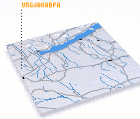 Places with similar names to Ungjakabfa, Hungary :: Disclaimer :: Information on this page comes without warranty of any kind |
||
|
Where is Ungjakabfa? Elevation and coordinates ::
Latitude (lat): 46°39'0"N Longitude (lon): 17°2'0"E
Elevation (approx.): 183m (map arrows pan, magnifying glasses zoom) |
||
|
Visiting Ungjakabfa? Hotel/Accommodation ::
Book a hotel in Ungjakabfa Travel Guide ::
Buy a travel guide for Hungary rental cars ::
car rental offers GPS waypoint ::
download a GPX waypoint (PoI) of Ungjakabfa for your GPS receiver
|
||