|
search place name
|
||
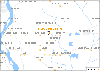
Vásárhalom (Bács-Kiskun, Hungary)Vásárhalom is a town in the Bács-Kiskun region of Hungary. An overview map of the region around Vásárhalom is displayed below.
regional and 3d topo map of Vásárhalom, Hungary ::
Vásárhalom airports ::
The nearest airport is BUD - Budapest Ferihegy, located 64.5 km north of Vásárhalom.
Other airports nearby include OSI - Osijek (157.7 km south), SLD - Sliac (196.9 km north), BTS - Bratislava M R Stefanik (203.0 km north west), PZY - Piestany (217.5 km north west), Nearby towns ::
Betlenmajor (1.3km east) //
Kígyóspart (1.3km east) //
Újsolt (1.3km east) //
Miskahalom (1.9km south) //
Sallairész (2.2km north east) //
Fůzhalom (2.2km south east) //
Kispuszta (2.5km east) //
Gyármajor (2.5km west) //
Gálháza (3.7km south) //
Csanádfehéregyháza (3.9km north) //
Nagymajor (4.5km south west) //
Bakóhalom (3.8km west) //
Csanádpuszta (4.2km north west) //
Sóskút (5.7km south) //
Félixháza (6.1km south west) //
Lukatelek (7.4km south) //
Sósér (7.5km south) //
Felsőtételalja (7.5km south) //
Bösztör (6.7km north east) //
Csordajárás (7.8km south) //
Remanencia (6.3km south west) //
Törleymajor (8.3km south east) //
[all distances 'as the bird flies' and approximate] 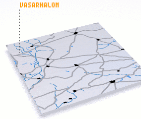 Places with similar names to Vásárhalom, Hungary :: Disclaimer :: Information on this page comes without warranty of any kind |
||
|
Where is Vásárhalom? Elevation and coordinates ::
Latitude (lat): 46°52'0"N Longitude (lon): 19°6'0"E
Elevation (approx.): 92m (map arrows pan, magnifying glasses zoom) |
||
|
Visiting Vásárhalom? Hotel/Accommodation ::
Book a hotel in Vásárhalom Travel Guide ::
Buy a travel guide for Hungary rental cars ::
car rental offers GPS waypoint ::
download a GPX waypoint (PoI) of Vásárhalom for your GPS receiver
|
||