|
search place name
|
||
Verestenger (Hajdú-Bihar, Hungary)Verestenger is a town in the Hajdú-Bihar region of Hungary. An overview map of the region around Verestenger is displayed below.
regional and 3d topo map of Verestenger, Hungary ::

Verestenger airports ::
The nearest airport is DEB - Debrecen, located 45.5 km south east of Verestenger.
Other airports nearby include KSC - Kosice (89.2 km north), OMR - Oradea (101.4 km south east), SUJ - Satu Mare (114.0 km east), TAT - Poprad Tatry (158.6 km north west), Nearby towns ::
Fürjhalomjárás (3.7km south) //
Lopóhalom (5.6km south) //
Hajdúnánás (4.2km south east) //
Lopóhalomjárás (4.2km south east) //
Niczkyrét (4.2km south east) //
Tedej (4.2km south east) //
Előhátitanya (6.1km north west) //
Zajgatódůlő (7.5km south east) //
Zajgatódůlő (7.5km south east) //
[all distances 'as the bird flies' and approximate] 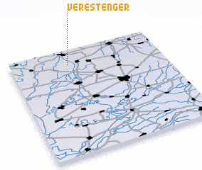 Places with similar names to Verestenger, Hungary :: Disclaimer :: Information on this page comes without warranty of any kind |
||
|
Where is Verestenger? Elevation and coordinates ::
Latitude (lat): 47°52'0"N Longitude (lon): 21°23'0"E
Elevation (approx.): 91m (map arrows pan, magnifying glasses zoom) |
||
|
Visiting Verestenger? Hotel/Accommodation ::
Book a hotel in Verestenger Travel Guide ::
Buy a travel guide for Hungary rental cars ::
car rental offers GPS waypoint ::
download a GPX waypoint (PoI) of Verestenger for your GPS receiver
|
||